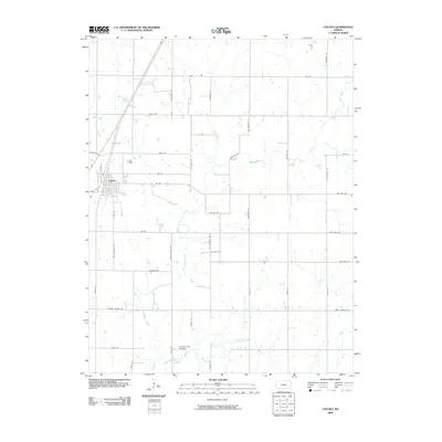
2009 Map of Colony
USGS Topo · Published 2009About this map
Colony serves as the central hub of this Anderson County landscape, where a regular grid of section-line roads structures the agricultural heartland of eastern Kansas. This 2009 survey shows the area's intricate drainage system, defined by the winding paths of Deer Creek, Little Deer Creek, and Martin Creek. These waterways provide a stark contrast to the rigid geometry of the surrounding rural infrastructure, which is labeled with a mix of state-named routes such as Wyoming Rd, Louisiana Rd, and Missouri Rd. For those researching local family history, the Pleasant Valley Cemetery remains a significant landmark south of the town center. The map documents a period of established land use where large rural parcels are connected by an extensive network of named gravel and paved roads, reflecting the enduring township-and-range surveying system that shaped the Midwestern frontier.
Find a feature on this map
41 named features on this map. Tap any name to fly to it.
Don’t see what you’re looking for? This feature index may not catch every label — zoom into the map to look around manually.
Map Details
Editions of this 2009 Colony Map
This is the sole edition of this map. No revisions or reprints were ever made.
Other maps of this area

1885 · Garnett
USGS Topo · 1:125,000

1886 · Iola
USGS Topo · 1:125,000

1893 · Iola
USGS Topo · 1:125,000

1894 · Garnett
USGS Topo · 1:125,000

1904 · Iola
USGS Topo · 1:125,000

1947 · Lawrence
USGS Topo · 1:250,000

1947 · Joplin
USGS Topo · 1:250,000

1949 · Joplin
USGS Topo · 1:250,000

1950 · Lawrence
USGS Topo · 1:250,000

1954 · Joplin
USGS Topo · 1:250,000