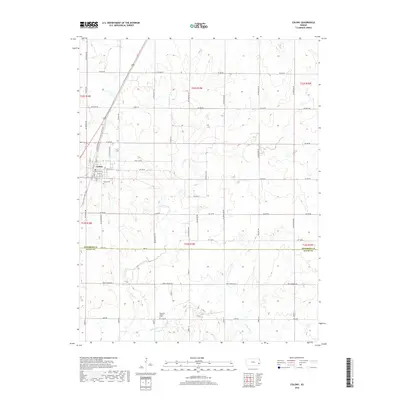
2018 Map of Colony
USGS Topo · Published 2018About this map
Colony serves as the primary hub for this Anderson County landscape, situated where the Prairie Spirit Rail Trail cuts a diagonal path through the prairie. This former rail corridor, accompanied by the Old Colony Welda Rd, reflects the historical transportation patterns that once defined the region's connectivity. The town is anchored by a grid of streets including E Broad St, with the nearby Colony Cem serving as a significant genealogical landmark for the local community.
Find a feature on this map
49 named features on this map. Tap any name to fly to it.
Don’t see what you’re looking for? This feature index may not catch every label — zoom into the map to look around manually.
Map Details
Editions of this 2018 Colony Map
This is the sole edition of this map. No revisions or reprints were ever made.
Other maps of this area

1885 · Garnett
USGS Topo · 1:125,000

1886 · Iola
USGS Topo · 1:125,000

1893 · Iola
USGS Topo · 1:125,000

1894 · Garnett
USGS Topo · 1:125,000

1904 · Iola
USGS Topo · 1:125,000

1947 · Lawrence
USGS Topo · 1:250,000

1947 · Joplin
USGS Topo · 1:250,000

1949 · Joplin
USGS Topo · 1:250,000

1950 · Lawrence
USGS Topo · 1:250,000

1954 · Joplin
USGS Topo · 1:250,000