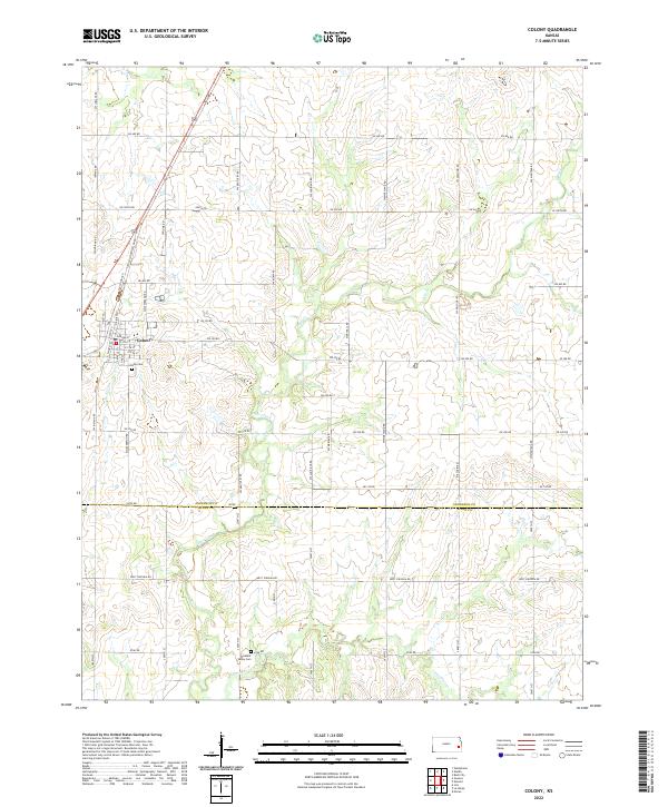
2022 Map of Colony
USGS Topo · Published 2022About this map
Colony sits at the intersection of local grid roads and regional thoroughfares, serving as a distinct hub in this portion of eastern Kansas near the Anderson Co and Allen County line. The town's layout is defined by its core streets, including E Broad St and Depot St, which historically suggest the town’s relationship with local transport and rail corridors. To the south of the settlement, Colony Cem provides a point of interest for genealogists tracing local families. The surrounding landscape is characterized by the meandering courses of Deer Creek and Little Deer Cr, which cut through the agricultural sections and help define the township boundaries. Further south, the rural landscape is punctuated by Pleasant Valley Cem, highlighting the dispersed nature of early pioneer communities that once relied on the network of roads such as SW Indiana Rd and SW Montana Rd.
Find a feature on this map
59 named features on this map. Tap any name to fly to it.
Don’t see what you’re looking for? This feature index may not catch every label — zoom into the map to look around manually.
Map Details
Editions of this 2022 Colony Map
This is the sole edition of this map. No revisions or reprints were ever made.
Other maps of this area

1885 · Garnett
USGS Topo · 1:125,000

1886 · Iola
USGS Topo · 1:125,000

1893 · Iola
USGS Topo · 1:125,000

1894 · Garnett
USGS Topo · 1:125,000

1904 · Iola
USGS Topo · 1:125,000

1947 · Lawrence
USGS Topo · 1:250,000

1947 · Joplin
USGS Topo · 1:250,000

1949 · Joplin
USGS Topo · 1:250,000

1950 · Lawrence
USGS Topo · 1:250,000

1954 · Joplin
USGS Topo · 1:250,000