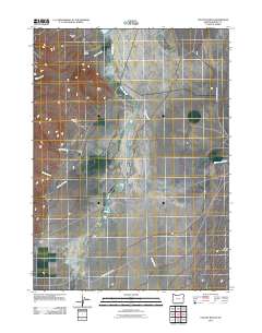
2011 Map of Colony Ranch
USGS Topo · Published 2011About this map
Reynolds Ranch and Owens Ranch anchor the northern reaches of this high-desert landscape in Harney County. The area is defined by its drainage patterns, notably where Oliver Creek and Pueblo Slough converge near the geological landmark of Red Point. This 2011 survey illustrates a region where water management and ranching are inextricably linked, with names like Pete Miller Ranch and Colony Ranch marking the points of human activity amidst the expansive terrain.
Find a feature on this map
18 named features on this map. Tap any name to fly to it.
Don’t see what you’re looking for? This feature index may not catch every label — zoom into the map to look around manually.
Map Details
Editions of this 2011 Colony Ranch Map
This is the sole edition of this map. No revisions or reprints were ever made.
Other maps of this area

1886 · Disaster
USGS Topo · 1:250,000

1893 · Disaster
USGS Topo · 1:250,000

1954 · Vya
USGS Topo · 1:250,000

1955 · Adel
USGS Topo · 1:250,000

1957 · Adel
USGS Topo · 1:250,000

1958 · Vya
USGS Topo · 1:250,000

1958 · Adel
USGS Topo · 1:250,000

1961 · Trident Peak
USGS Topo · 1:62,500

1962 · Vya
USGS Topo · 1:250,000

1962 · Adel
USGS Topo · 1:250,000