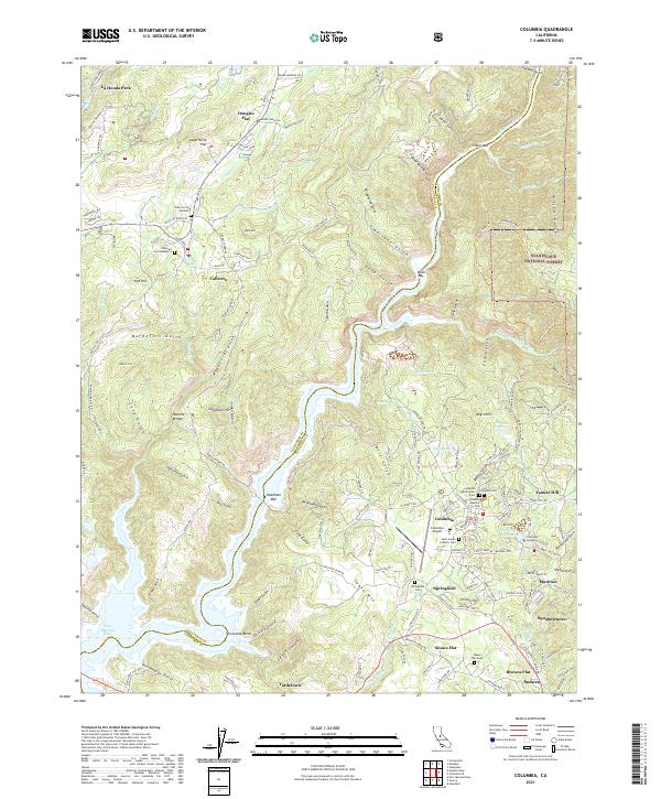
2021 Map of Columbia
USGS Topo · Published 2021About this map
Columbia and the surrounding Gold Country terrain of Calaveras Co and Tuolumne Co are meticulously documented in this 21st-century survey. The landscape is defined by its deep mining history and complex water systems, including the O'Neil Ditch, San Diego Ditch, and the S Ditch that weave through the limestone hills. Settlement patterns are concentrated around historical centers like Vallecito, Springfield, and Shaws Flat, each flanked by numerous burial grounds such as Columbia Odd Fellows Cem and Saint Anne's Catholic Cem. Significant elevation changes are marked by Table Mtn and Bell Hill, while the Stanislaus River and the New Melones Lake reservoir illustrate the region's hydraulic geography. This map also tracks modern institutional footprints like Columbia College and the Columbia Airport amidst the dense network of gulches and canyons.
Find a feature on this map
146 named features on this map. Tap any name to fly to it.
Don’t see what you’re looking for? This feature index may not catch every label — zoom into the map to look around manually.
Map Details
Editions of this 2021 Columbia Map
This is the sole edition of this map. No revisions or reprints were ever made.
Other maps of this area

1889 · Jackson
USGS Topo · 1:125,000

1891 · Big Trees
USGS Topo · 1:125,000

1892 · Jackson
USGS Topo · 1:125,000

1893 · Sonora
USGS Topo · 1:125,000

1894 · Big Trees
USGS Topo · 1:125,000

1896 · Sonora
USGS Topo · 1:125,000

1897 · Jackson
USGS Topo · 1:125,000

1897 · Sonora
USGS Topo · 1:125,000

1897 · Big Trees
USGS Topo · 1:125,000

1898 · Sonora
USGS Topo · 1:125,000