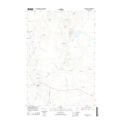
2014 Map of Columbia Falls
USGS Topo · Published 2014About this map
Columbia Falls sits along the bend of the Pleasant River in Washington County, serving as a primary settlement node in this Down East landscape. The terrain to the north is defined by a series of glaciated ridges and peaks, including Sewall Ridge and Milton Mtn, which overlook the expansive wetland of the Big Heath. This 2014 survey reveals a network of brooks like Pecky Brook and Kaylor Brook that drain the upland hills into the larger river systems.
Find a feature on this map
54 named features on this map. Tap any name to fly to it.
Don’t see what you’re looking for? This feature index may not catch every label — zoom into the map to look around manually.
Map Details
Editions of this 2014 Columbia Falls Map
This is the sole edition of this map. No revisions or reprints were ever made.
Other maps of this area

1902 · Cherryfield
USGS Topo · 1:62,500

1904 · Cherryfield
USGS Topo · 1:62,500

1921 · Columbia Falls
USGS Topo · 1:62,500

1921 · Columbia Falls
USGS Topo · 1:62,500

1941 · Columbia Falls
USGS Topo · 1:62,500

1941 · Wesley
USGS Topo · 1:62,500

1941 · Tug Mountain
USGS Topo · 1:62,500

1942 · Cherryfield
USGS Topo · 1:62,500

1942 · Columbia Falls
USGS Topo · 1:62,500

1943 · Tug Mountain
USGS Topo · 1:62,500