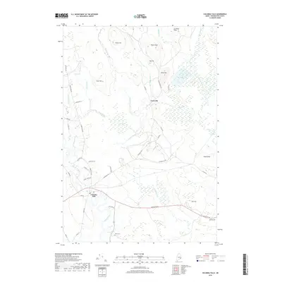
2018 Map of Columbia Falls
USGS Topo · Published 2018About this map
Columbia Falls sits at the confluence of the Pleasant River and local roadways, serving as a primary settlement in this Washington County landscape. The area is characterized by an intricate network of waterways and extensive wetlands, including the large Big Heath to the east and Marst Heath near the center of the quadrangle. These low-lying bogs are interspersed with significant elevations such as Milton Mtn, Patten Hill, and Sewall Ridge, which break the drainage patterns of Pecky Brook and Libby Brook.
Find a feature on this map
51 named features on this map. Tap any name to fly to it.
Don’t see what you’re looking for? This feature index may not catch every label — zoom into the map to look around manually.
Map Details
Editions of this 2018 Columbia Falls Map
This is the sole edition of this map. No revisions or reprints were ever made.
Other maps of this area

1902 · Cherryfield
USGS Topo · 1:62,500

1904 · Cherryfield
USGS Topo · 1:62,500

1921 · Columbia Falls
USGS Topo · 1:62,500

1921 · Columbia Falls
USGS Topo · 1:62,500

1941 · Columbia Falls
USGS Topo · 1:62,500

1941 · Wesley
USGS Topo · 1:62,500

1941 · Tug Mountain
USGS Topo · 1:62,500

1942 · Cherryfield
USGS Topo · 1:62,500

1942 · Columbia Falls
USGS Topo · 1:62,500

1943 · Tug Mountain
USGS Topo · 1:62,500