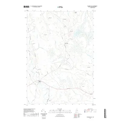
2021 Map of Columbia Falls
USGS Topo · Published 2021About this map
Columbia Falls and Centerville anchor this Washington County survey, where the Pleasant River winds through a landscape defined by significant wetland complexes like Big Heath and Marst Heath. The coastal character of the area is evident in the network of waterways, including the Chandler River and Indian River, which drain the surrounding highlands such as Milton Mtn and Patten Hill.
Find a feature on this map
51 named features on this map. Tap any name to fly to it.
Don’t see what you’re looking for? This feature index may not catch every label — zoom into the map to look around manually.
Map Details
Editions of this 2021 Columbia Falls Map
This is the sole edition of this map. No revisions or reprints were ever made.
Other maps of this area

1902 · Cherryfield
USGS Topo · 1:62,500

1904 · Cherryfield
USGS Topo · 1:62,500

1921 · Columbia Falls
USGS Topo · 1:62,500

1921 · Columbia Falls
USGS Topo · 1:62,500

1941 · Columbia Falls
USGS Topo · 1:62,500

1941 · Wesley
USGS Topo · 1:62,500

1941 · Tug Mountain
USGS Topo · 1:62,500

1942 · Cherryfield
USGS Topo · 1:62,500

1942 · Columbia Falls
USGS Topo · 1:62,500

1943 · Tug Mountain
USGS Topo · 1:62,500