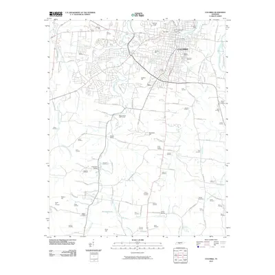
2010 Map of Columbia
USGS Topo · Published 2010About this map
Columbia serves as the focal point of this Maury County survey, where the Duck River flows past the Riverside Dam and northern reaches of the city. The landscape is characterized by a dense concentration of burial sites, reflecting generations of local family history and community development. Prominent locations such as Rose Hill Cemetery, Old City Cemetery, and Greenwood Cemetery are clustered near the urban center, while rural outskirts preserve smaller family plots like Zollicoffer Cemetery and Kittrell Cemetery. The terrain is marked by numerous landmarks, including The Knob and Rainey Hill, which overlook a network of waterways like Lytle Creek and Little Bigby Creek. Modern recreational development is evident at the Bigby Hollow Golf Course in Neeley Valley, contrasting with the more traditional rural layout of farms and hills to the south and west. This documentation provides a clear view of the intersection between historic preservation and contemporary land use in middle Tennessee.
Find a feature on this map
108 named features on this map. Tap any name to fly to it.
Don’t see what you’re looking for? This feature index may not catch every label — zoom into the map to look around manually.
Map Details
Editions of this 2010 Columbia Map
This is the sole edition of this map. No revisions or reprints were ever made.
Other maps of this area

1901 · Colombia
USGS Topo · 1:125,000

1936 · Godwin
USGS Topo · 1:24,000

1936 · Sandy Hook
USGS Topo · 1:24,000

1936 · Williamsport
USGS Topo · 1:24,000

1936 · Campbells Station
USGS Topo · 1:24,000

1936 · Carters Creek
USGS Topo · 1:24,000

1936 · Mount Pleasant
USGS Topo · 1:24,000

1936 · Glendale
USGS Topo · 1:24,000

1936 · Columbia
USGS Topo · 1:24,000

1936 · Lynnville
USGS Topo · 1:24,000