Loading...
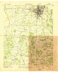
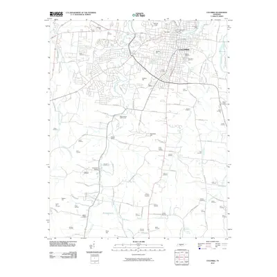
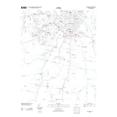
Loading map...1936 Map of Columbia
USGS Topo · Published 1936About this map
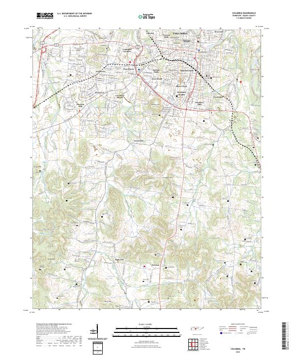
Columbia serves as a dense municipal hub at the confluence of the Duck River and Riverside, where the local economy in the mid-1930s is defined by a convergence of major rail lines including the Louisville and Nashville Railroad and the Tennessee Central Railroad. Outside the city center, the landscape transitions into a specialized agricultural and institutional corridor, anchored by the State Agricultural Experiment Sta and the Columbia Mil Academy.
Find a feature on this map
51 named features on this map. Tap any name to fly to it.
Don’t see what you’re looking for? This feature index may not catch every label — zoom into the map to look around manually.
Map Details
Date Portrayed1936
Date Published1936
PublisherU.S. Geological Survey
Map TypeTopographic
Scale1:24,000
Physical Dimensions22.02 x 27.45 inches
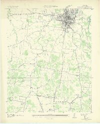
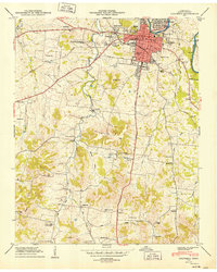
Editions of this 1936 Columbia Map
2 editions found
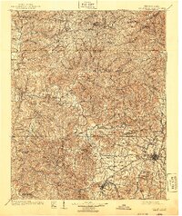
Historical Maps of Columbia Through Time
10 maps found
Featured Locations
Source Details
SourceU.S. Geological Survey
CopyrightPublic Domain