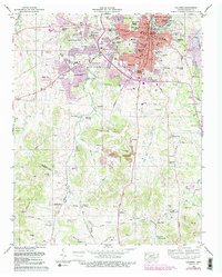
1965 Map of Columbia
USGS Topo · Published 1990About this map
The Duck River winds through the heart of Maury County, framing the growth of Columbia as it expanded through the mid-1960s. This survey documents a period of significant urban development, noted by the emergence of residential tracts like Graymere Manor and Field Crest alongside established institutions such as Columbia Academy and the Columbia State Community College. The landscape is a mix of civic infrastructure and deep-rooted local history, with the Louisville and Nashville Railroad cutting north-south through the terrain. Evidence of the area's resource-based economy is visible in the numerous strip mines dotting the hillsides south of the city. For genealogists, the map is remarkably dense with family-named burial sites, from the Old County Farm Cemetery to the Zollicoffer Cemetery and the Birkett Hill Cemetery, offering a precise record of the county's ancestral landscape before later 20th-century modernization.
Find a feature on this map
108 named features on this map. Tap any name to fly to it.
Don’t see what you’re looking for? This feature index may not catch every label — zoom into the map to look around manually.
Map Details
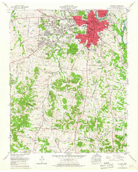
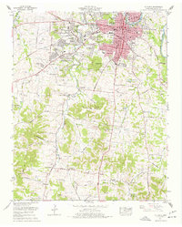
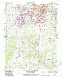
Editions of this 1965 Columbia Map
4 editions found
Other maps of this area

1901 · Colombia
USGS Topo · 1:125,000

1936 · Godwin
USGS Topo · 1:24,000

1936 · Sandy Hook
USGS Topo · 1:24,000

1936 · Williamsport
USGS Topo · 1:24,000

1936 · Campbells Station
USGS Topo · 1:24,000

1936 · Carters Creek
USGS Topo · 1:24,000

1936 · Mount Pleasant
USGS Topo · 1:24,000

1936 · Glendale
USGS Topo · 1:24,000

1936 · Columbia
USGS Topo · 1:24,000

1936 · Lynnville
USGS Topo · 1:24,000