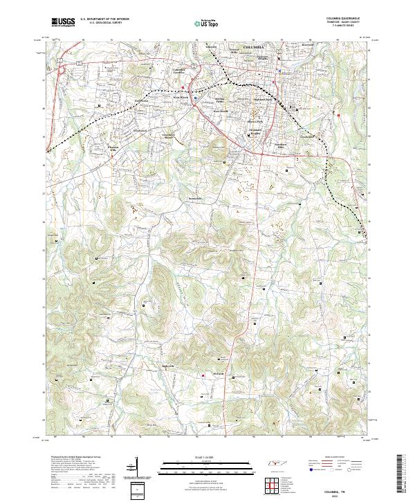
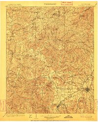
1901 Map of Columbia
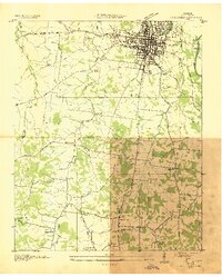
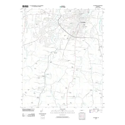
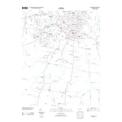
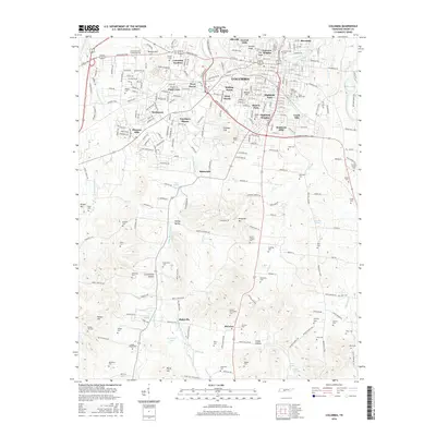
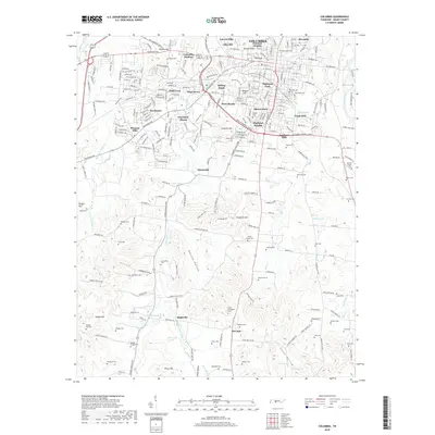
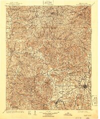
USGS Topo · Published 1940About this map
The Duck River meanders through the heart of Middle Tennessee in this late 19th-century survey, creating a complex landscape of deep bends and fertile valleys. Major regional hubs like Centerville and Columbia anchor the river system, while smaller settlements like Lyles, Warner, and Graham reflect the industrial and agricultural activity of the era. The presence of the U.S. Arsenal near Columbia and the Meriwether Lewis National Monument in the southwest corner of the sheet highlight significant federal footprints in Maury and Lewis Counties.
Find a feature on this map
109 named features on this map. Tap any name to fly to it.
Don’t see what you’re looking for? This feature index may not catch every label — zoom into the map to look around manually.
Map Details
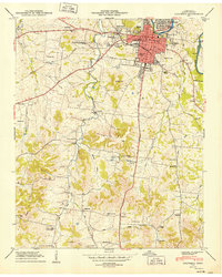
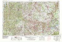
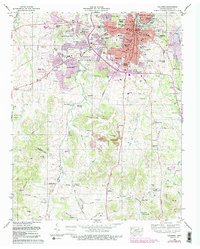
Editions of this 1901 Columbia Map
3 editions found

Historical Maps of Nashville Through Time
10 maps found