Old Maps of Davidson County, Tennessee
Explore 62 old maps of Davidson County, spanning from 1901 to today. These high-resolution historic maps reveal how streets, neighborhoods, landmarks, and natural features evolved over time — perfect for genealogy, metal detecting, research, and local history exploration.
What you can do with these maps:
- See how Davidson County changed over time: Compare historical maps to modern-day views to trace roads, homesites, rail lines & more.
- View detailed metadata: Each map includes creators, publishers, year, scale, and archive source.
- Overlay maps with satellite & LiDAR: Visualize the past alongside modern tools to explore terrain & human change.
- Trusted historical sources: Maps sourced from the USGS, Library of Congress, and other archives.
- Access maps your way: View online, download high-res files, or order prints for personal or research use.
Start exploring old maps of Davidson County to uncover forgotten places, hidden landmarks, and the deep history beneath your feet.
Davidson County, TN maps
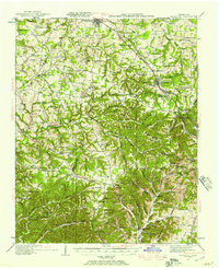
(62)- 1901 Map of Colombia
 1901 Colombia1901 Print · USGSCovers Davidson County, including Nashville, Columbia, and other nearby areas3 unique versions available
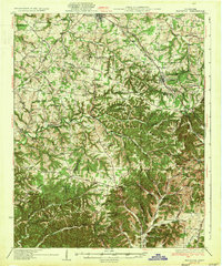
 - 1903 Map of Nashville
 1903 Nashville1903 Print · USGSCovers Davidson County, including Nashville, Hendersonville, and other nearby areas4 unique versions available
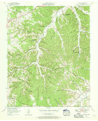
 - 1930 Map of White Bluff, 1953 Print
 1930 White Bluff1953 Print · USGSCovers Davidson County, including Nashville, Fairview, and other nearby areas
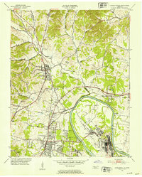
 - 1931 Map of Ridgetop, 1957 Print
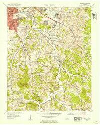
 1931 Ridgetop1957 Print · USGSCovers Davidson County, including Nashville, Springfield, and other nearby areas2 unique versions available
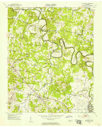
 - 1932 Map of Hermitage
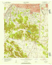
 1932 Hermitage1932 Print · USGSCovers Davidson County, including Nashville, Hendersonville, and other nearby areas3 unique versions available
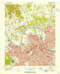
 - 1932 Map of Nashville
 1932 Nashville1932 Print · USGSCovers Davidson County, including Nashville, Brentwood, and other nearby areas2 unique versions available
 - 1933 Map of White Bluff
 1933 White Bluff1933 Print · USGSCovers Davidson County, including Nashville, Fairview, and other nearby areas
 - 1935 Map of Ridgetop
 1935 Ridgetop1935 Print · USGSCovers Davidson County, including Nashville, Springfield, and other nearby areas2 unique versions available
 - 1942 Map of Gallatin
 1942 Gallatin1942 Print · USGSCovers Davidson County, including Nashville, Hendersonville, and other nearby areas
 - 1942 Map of Lebanon, 1944 Print
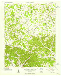
 1942 Lebanon1944 Print · USGSCovers Davidson County, including Nashville, Murfreesboro, and other nearby areas
 - 1951 Map of Fairview, 1957 Print
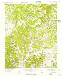
 1951 Fairview1957 Print · USGSCovers Davidson County, including Nashville, Fairview, and other nearby areas4 unique versions available
 - 1952 Map of Goodlettsville, 1953 Print
 1952 Goodlettsville1953 Print · USGSCovers Davidson County, including Nashville, Hendersonville, and other nearby areas
 - 1952 Map of Hendersonville, 1953 Print
 1952 Hendersonville1953 Print · USGSCovers Davidson County, including Nashville, Hendersonville, and other nearby areas
 - 1952 Map of Hermitage, 1954 Print
 1952 Hermitage1954 Print · USGSCovers Davidson County, including Nashville, Hendersonville, and other nearby areas
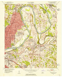
 - 1952 Map of Nashville West, 1954 Print
 1952 Nashville West1954 Print · USGSCovers Davidson County, including Nashville, North Nashville, and other nearby areas2 unique versions available
 - 1952 Map of La Vergne, 1954 Print
 1952 La Vergne1954 Print · USGSCovers Davidson County, including Nashville, Smyrna, and other nearby areas2 unique versions available
 - 1952 Map of Nashville East, 1954 Print
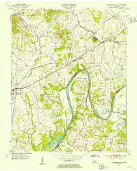
 1952 Nashville East1954 Print · USGSCovers Davidson County, including Nashville, Lakewood, and other nearby areas
 - 1952 Map of Antioch, 1954 Print
 1952 Antioch1954 Print · USGSCovers Davidson County, including Nashville, Brentwood, and other nearby areas2 unique versions available
 - 1953 Map of Oak Hill, 1954 Print
 1953 Oak Hill1954 Print · USGSCovers Davidson County, including Nashville, Brentwood, and other nearby areas2 unique versions available
 - 1954 Map of White House, 1955 Print
 1954 White House1955 Print · USGSCovers Davidson County, including Nashville, Goodlettsville, and other nearby areas4 unique versions available
 - 1955 Map of Whites Creek, 1956 Print
 1955 Whites Creek1956 Print · USGSCovers Davidson County, including Nashville, Joelton, and other nearby areas4 unique versions available
 - 1955 Map of Forest Grove, 1956 Print
 1955 Forest Grove1956 Print · USGSCovers Davidson County, including Nashville, Pleasant View, and other nearby areas5 unique versions available
 - 1955 Map of Scottsboro, 1956 Print
 1955 Scottsboro1956 Print · USGSCovers Davidson County, including Nashville, Ashland City, and other nearby areas
 - 1955 Map of Belleview, 1956 Print
 1955 Belleview1956 Print · USGSCovers Davidson County, including Nashville, Forest Hills, and other nearby areas2 unique versions available
 - 1956 Map of Columbia, 1960 Print
 1956 Columbia1960 Print · USGSCovers Davidson County, including Nashville, Murfreesboro, and other nearby areas6 unique versions available
Showing maps 1-25 of 62
Top cities of Davidson County
- Nashville historical maps
- Forest Hills historical maps
- Oak Hill historical maps
- Belle Meade historical maps
- Berry Hill historical maps
Frequently asked questions
- What are the different types of historical maps available for Davidson County?
- What is the oldest map of Davidson County?
- Where can I purchase historical maps of Davidson County for my home or office?
- Where can I download high-res historical maps of Davidson County?
- Are there historical topographic maps available for Davidson County?
- Is there historical aerial imagery available for Davidson County?
- Where are historical maps of Davidson County sourced from?