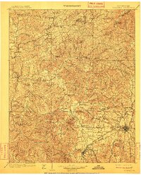
1901 Map of Colombia
USGS Topo · Published 1909About this map
The Duck River carves a winding course through this turn-of-the-century Middle Tennessee landscape, defining the topography of Hickman, Maury, Williamson, and Lewis Counties. The map reveals a region transitioning from rural isolation to industrial connectivity, anchored by the Centerville and Columbia areas. Prominent landmarks such as the Lewis Monument and the U.S. Arsenal indicate the intersection of national history and local geography.
Find a feature on this map
126 named features on this map. Tap any name to fly to it.
Don’t see what you’re looking for? This feature index may not catch every label — zoom into the map to look around manually.
Map Details
Editions of this 1901 Colombia Map
3 editions found
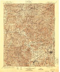
Other maps of this area

1901 · Colombia
USGS Topo · 1:125,000

1903 · Nashville
USGS Topo · 1:125,000

1905 · Waynesboro
USGS Topo · 1:125,000

1909 · Franklin
USGS Topo · 1:62,500

1930 · White Bluff
USGS Topo · 1:62,500

1932 · Nashville
USGS Topo · 1:62,500

1933 · White Bluff
USGS Topo · 1:62,500

1936 · Riverside
USGS Topo · 1:24,000

1936 · Godwin
USGS Topo · 1:24,000

1936 · Sandy Hook
USGS Topo · 1:24,000