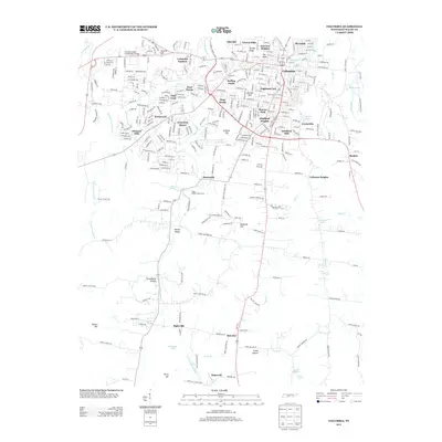
2013 Map of Columbia
USGS Topo · Published 2013About this map
The Duck River meanders through the northeast corner of this 2013 survey, where the city of Columbia serves as the primary anchor for the surrounding landscape. Subdivisions and established residential neighborhoods like Riverside, Highland Park, and Graymere Manor illustrate the urban density around the city center, while institutional landmarks such as Columbia State Community College mark the western outskirts.
Find a feature on this map
310 named features on this map. Tap any name to fly to it.
Don’t see what you’re looking for? This feature index may not catch every label — zoom into the map to look around manually.
Map Details
Editions of this 2013 Columbia Map
This is the sole edition of this map. No revisions or reprints were ever made.
Other maps of this area

1901 · Colombia
USGS Topo · 1:125,000
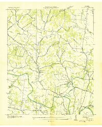
1936 · Godwin
USGS Topo · 1:24,000
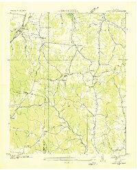
1936 · Sandy Hook
USGS Topo · 1:24,000
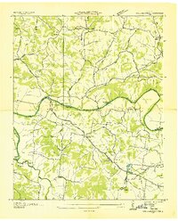
1936 · Williamsport
USGS Topo · 1:24,000
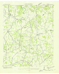
1936 · Campbells Station
USGS Topo · 1:24,000
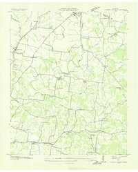
1936 · Carters Creek
USGS Topo · 1:24,000
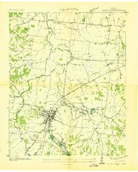
1936 · Mount Pleasant
USGS Topo · 1:24,000
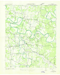
1936 · Glendale
USGS Topo · 1:24,000
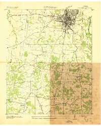
1936 · Columbia
USGS Topo · 1:24,000
1936 · Lynnville
USGS Topo · 1:24,000