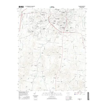
2016 Map of Columbia
USGS Topo · Published 2016About this map
Columbia serves as the focal point of this Maury County study, where the Duck River winds through the northeastern corner near Riverside. The landscape is defined by its transition from urban residential clusters like Highland Heights and West Haven to the expansive rural hollows and hills to the south. Numerous family and community burial grounds, including the Old City Cem and Zollicoffer Cem, are scattered across the terrain, offering significant primary data for genealogical research.
Find a feature on this map
104 named features on this map. Tap any name to fly to it.
Don’t see what you’re looking for? This feature index may not catch every label — zoom into the map to look around manually.
Map Details
Editions of this 2016 Columbia Map
This is the sole edition of this map. No revisions or reprints were ever made.
Other maps of this area

1901 · Colombia
USGS Topo · 1:125,000

1936 · Godwin
USGS Topo · 1:24,000

1936 · Sandy Hook
USGS Topo · 1:24,000

1936 · Williamsport
USGS Topo · 1:24,000

1936 · Campbells Station
USGS Topo · 1:24,000

1936 · Carters Creek
USGS Topo · 1:24,000

1936 · Mount Pleasant
USGS Topo · 1:24,000

1936 · Glendale
USGS Topo · 1:24,000

1936 · Columbia
USGS Topo · 1:24,000

1936 · Lynnville
USGS Topo · 1:24,000