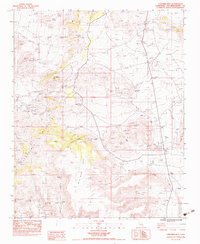
1983 Map of Columbia Mtn
USGS Topo · Published 1983About this map
Columbia Mine and the Cold Valley Mine define the industrial landscape of the Mojave region, appearing here in the early 1980s. The terrain is characterized by a complex network of canyons and mesas, where water sources like Chicken Water Spring, Mexican Water Spring, and Silver Lead Spring were essential for both mining operations and ranching. The presence of these named springs and wells, such as Willow Well and Barber Well, underscores the critical importance of water management in this arid environment.
Find a feature on this map
31 named features on this map. Tap any name to fly to it.
Don’t see what you’re looking for? This feature index may not catch every label — zoom into the map to look around manually.
Map Details
Editions of this 1983 Columbia Mtn Map
2 editions found
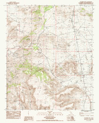
Other maps of this area

1910 · Ivanpah
USGS Topo · 1:250,000

1912 · Ivanpah
USGS Topo · 1:250,000

1942 · Ivanpah
USGS Topo · 1:250,000

1942 · Amboy
USGS Topo · 1:250,000

1943 · Amboy
USGS Topo · 1:250,000

1947 · Kingman
USGS Topo · 1:250,000

1948 · Kingman
USGS Topo · 1:250,000

1954 · Needles
USGS Topo · 1:250,000

1954 · Kingman
USGS Topo · 1:250,000

1955 · Kingman
USGS Topo · 1:250,000