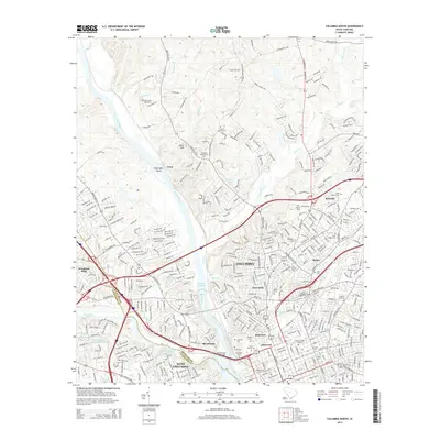
2014 Map of Columbia North
USGS Topo · Published 2014About this map
The Broad River and the Columbia Canal anchor this 2014 view of the state capital, where the river serves as the natural boundary between Richland Co and Lexington Co. This map reveals a dense concentration of educational and religious history, notably the cluster of historic burial grounds such as the Elmwood Cem, Saint Peters Cem, and the Hebrew Cem in the city center. The institutional footprint of the area is well-defined by campus layouts for Columbia International Univ, Allen Univ, and Benedict Coll, reflecting the long-standing role of the city as an academic hub.
Find a feature on this map
387 named features on this map. Tap any name to fly to it.
Don’t see what you’re looking for? This feature index may not catch every label — zoom into the map to look around manually.
Map Details
Editions of this 2014 Columbia North Map
This is the sole edition of this map. No revisions or reprints were ever made.
Other maps of this area

1904 · Columbia
USGS Topo · 1:125,000

1935 · Killian
USGS Topo · 1:48,000

1937 · Killian
USGS Topo · 1:62,500

1941 · Spartanburg
USGS Topo · 1:250,000

1942 · Camden
USGS Topo · 1:125,000

1944 · Edmund
USGS Topo · 1:62,500

1946 · Irmo
USGS Topo · 1:24,000

1947 · Columbia North
USGS Topo · 1:24,000

1947 · Richtex
USGS Topo · 1:24,000

1948 · Hopkins
USGS Topo · 1:62,500
Featured Places
- Columbia, SC
- West Columbia, SC
- Evergreen Park, SC
- Elmwood Park Historic District, Columbia
- Arlington Estates, SC