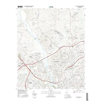
2017 Map of Columbia North
USGS Topo · Published 2017About this map
The Broad River and Saluda River converge in this 2017 study of the South Carolina capital, a landscape defined by its historic educational institutions and an extensive network of cemeteries. The presence of Columbia International Univ, Benedict Coll, and Allen Univ underscores the city's long-standing role as a center for higher learning. Along the banks of the Columbia Canal, industrial and urban history is visible through features like the Factory Cem and the Timmerman Bridge. Residential expansion is evident in established neighborhoods such as Haskell Heights, Denny Terrace, and Dentsville, while the Norfolk Southern Railway continues to mark the transportation corridor through the city's core. Numerous burial grounds, including the Taylor Burying Ground and Elmwood Cem, offer significant reference points for local genealogists researching the families of Columbia and West Columbia.
Find a feature on this map
414 named features on this map. Tap any name to fly to it.
Don’t see what you’re looking for? This feature index may not catch every label — zoom into the map to look around manually.
Map Details
Editions of this 2017 Columbia North Map
This is the sole edition of this map. No revisions or reprints were ever made.
Other maps of this area

1904 · Columbia
USGS Topo · 1:125,000

1935 · Killian
USGS Topo · 1:48,000

1937 · Killian
USGS Topo · 1:62,500

1941 · Spartanburg
USGS Topo · 1:250,000

1942 · Camden
USGS Topo · 1:125,000

1944 · Edmund
USGS Topo · 1:62,500

1946 · Irmo
USGS Topo · 1:24,000

1947 · Columbia North
USGS Topo · 1:24,000

1947 · Richtex
USGS Topo · 1:24,000

1948 · Hopkins
USGS Topo · 1:62,500
Featured Places
- Columbia, SC
- West Columbia, SC
- Evergreen Park, SC
- Elmwood Park Historic District, Columbia
- Arlington Estates, SC