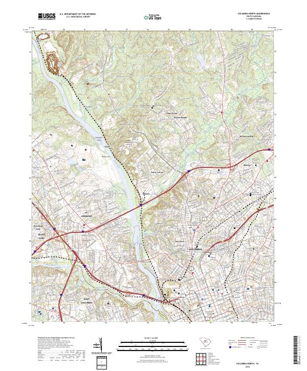
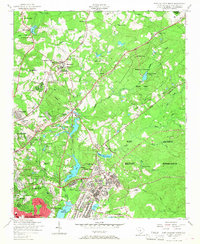
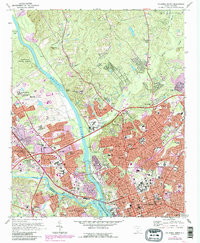
2024 Map of Columbia North
USGS Topo · Published 2024About this map
The Broad River and Saluda River converge in this detailed mapping of the state capital, where the Columbia Canal traces the eastern bank of the Broad. This urban and suburban landscape is densely populated with sites of significant genealogical interest, particularly its numerous historic burial grounds such as Elmwood Cem, Saint Peters Cem, and the Taylor Grave and Burying Ground. The map highlights the educational and civic core of Columbia, showing the campuses of Benedict College, Allen University, and Columbia College alongside the Supreme Court of South Carolina.
Find a feature on this map
64 named features on this map. Tap any name to fly to it.
Don’t see what you’re looking for? This feature index may not catch every label — zoom into the map to look around manually.
Map Details
Editions of this 2024 Columbia North Map
This is the sole edition of this map. No revisions or reprints were ever made.
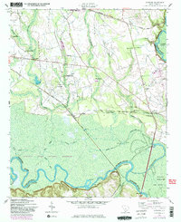
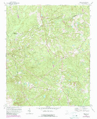
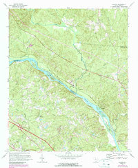
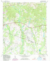
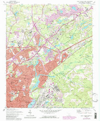
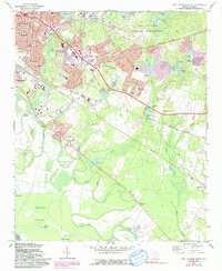
Historical Maps of Jaggers Terrace Through Time
30 maps found
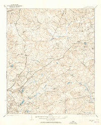
1935 Killian
Richland County, SC
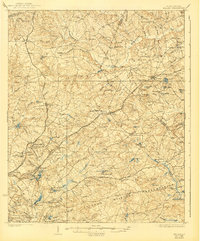
1937 Killian
Richland County, SC

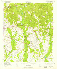
1947 Columbia North
Richland County, SC

1947 Richtex
Richland County, SC

1948 Columbia North
Richland County, SC

1949 Irmo NE
Richland County, SC

1949 Richtex
Richland County, SC
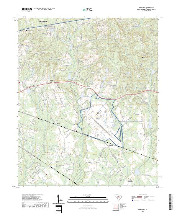
1953 Congaree
Richland County, SC
1953 Fort Jackson North
Richland County, SC

1953 Fort Jackson South
Richland County, SC

1953 Leesburg
Richland County, SC

1953 Messers Pond
Richland County, SC
1953 Wateree
Richland County, SC
1971 Irmo NE
Richland County, SC
1971 Richtex
Richland County, SC
1972 Columbia North
Richland County, SC
1972 Congaree
Richland County, SC
1972 Fort Jackson North
Richland County, SC
1972 Fort Jackson South
Richland County, SC
1972 Messers Pond
Richland County, SC
1997 Columbia North
Richland County, SC
2024 Columbia North
Richland County, SC
2024 Congaree
Richland County, SC
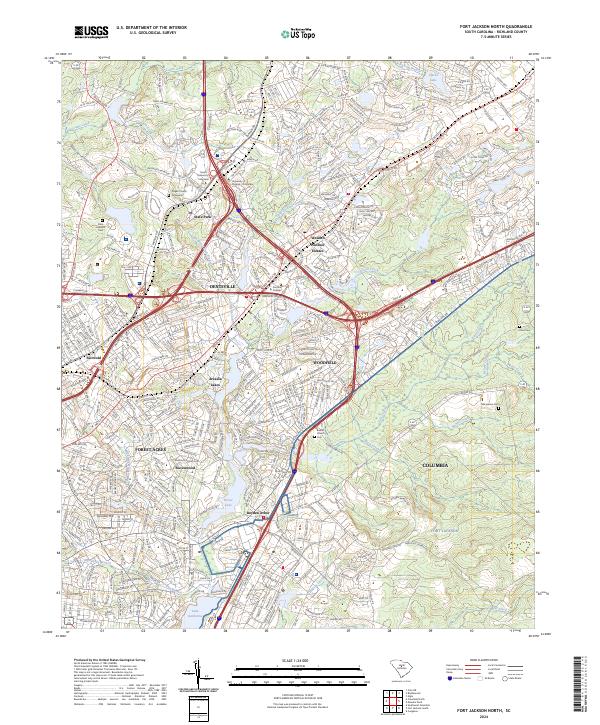
2024 Fort Jackson North
Richland County, SC
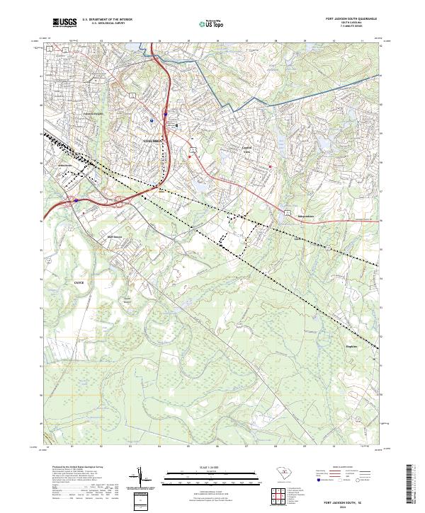
2024 Fort Jackson South
Richland County, SC
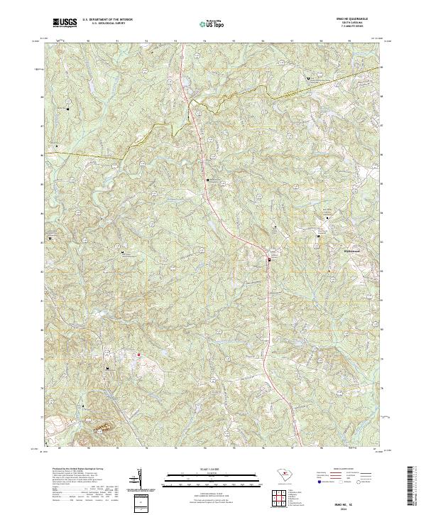
2024 Irmo NE
Richland County, SC
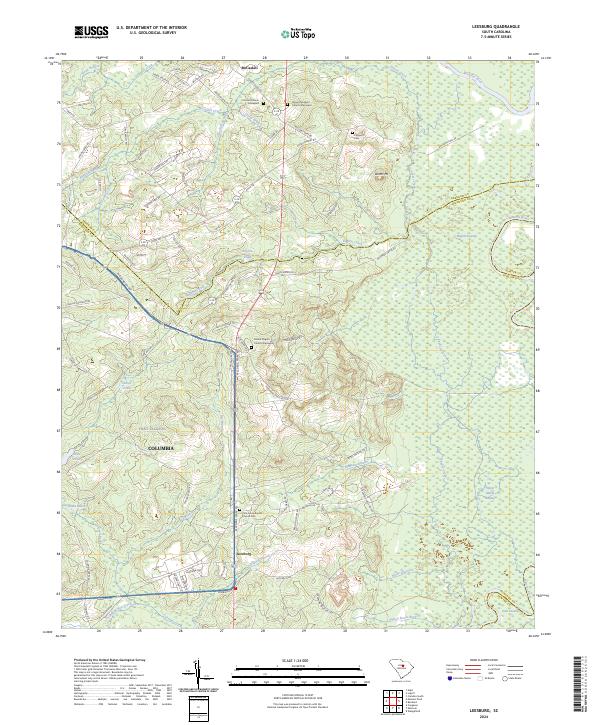
2024 Leesburg
Richland County, SC
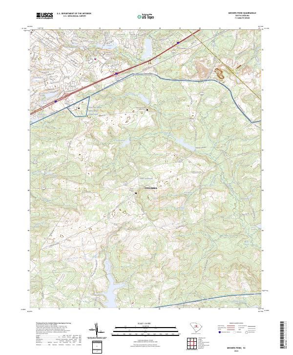
2024 Messers Pond
Richland County, SC
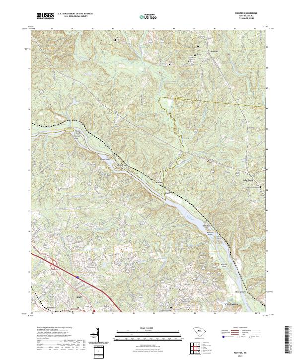
2024 Richtex
Richland County, SC
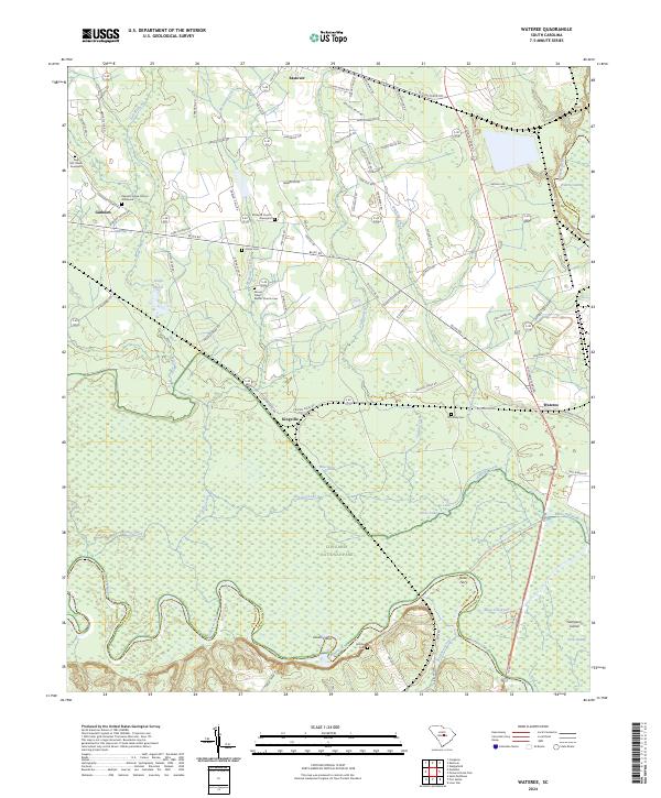
2024 Wateree
Richland County, SC
Featured Locations
- Columbia, SC
- Arlington Estates, SC
- Evergreen Park, SC
- West Columbia, SC
- Elmwood Park Historic District, Columbia