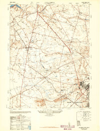
1948 Map of Columbus
USGS Topo · Published 1948About this map
Columbus serves as a central hub in this post-war landscape, where established agricultural traditions meet the expanding infrastructure of the mid-twentieth century. The map illustrates a dense network of farming and livestock operations, notably the Helis Stock Farm and the Walker Gordon Dairies near Juliustown. To the southeast, the massive footprint of the Fort Dix Military Reservation dominates the terrain, featuring the Tilton General Hospital and a complex array of military facilities. This area marks a significant intersection of civilian life and national defense, with the Pennsylvania Railroad providing critical transportation links through the countryside.
Find a feature on this map
57 named features on this map. Tap any name to fly to it.
Don’t see what you’re looking for? This feature index may not catch every label — zoom into the map to look around manually.
Map Details
Editions of this 1948 Columbus Map
2 editions found
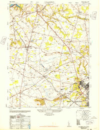
Other maps of this area

1888 · Bordentown
USGS Topo · 1:62,500

1888 · Pemberton
USGS Topo · 1:62,500

1888 · Mount Holly
USGS Topo · 1:62,500

1890 · Burlington
USGS Topo · 1:62,500

1893 · Bordentown
USGS Topo · 1:62,500

1893 · Burlington
USGS Topo · 1:62,500

1894 · Pemberton
USGS Topo · 1:62,500

1894 · Mount Holly
USGS Topo · 1:62,500

1898 · Pemberton
USGS Topo · 1:62,500

1898 · Mount Holly
USGS Topo · 1:62,500
Featured Places
- Bordentown Township, NJ
- Mansfield Township, NJ
- Chesterfield Township, NJ
- Eastampton Township, NJ
- Springfield Township, NJ