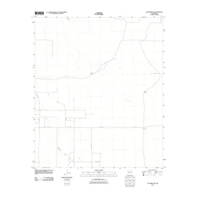
2010 Map of Columbus NE
USGS Topo · Published 2010About this map
White King stands as a primary landmark in this arid portion of Luna County, where the landscape is defined by the vital water infrastructure necessary for survival and ranching. The presence of Coyote Windmill and Tucker Windmill underscores the reliance on groundwater in this high desert terrain. Local drainage is managed by Seventysix Draw, which cuts through the southern portion of the quadrangle. A network of rural routes, including Whirlwind Rd and the evocatively named Dustdevil Rd, provides access to remote holdings and water catchments such as Buena Vista Tank and Oney Tank. This survey reflects the sparse, functional layout of the New Mexico borderlands in the early twenty-first century, documenting a region where every named well and tank represents a critical node of human activity.
Find a feature on this map
10 named features on this map. Tap any name to fly to it.
Don’t see what you’re looking for? This feature index may not catch every label — zoom into the map to look around manually.
Map Details
Editions of this 2010 Columbus NE Map
This is the sole edition of this map. No revisions or reprints were ever made.
Other maps of this area

1899 · Deming
USGS Topo · 1:125,000

1915 · Deming
USGS Topo · 1:125,000

1917 · Camel Mountain
USGS Topo · 1:62,500

1917 · Columbus
USGS Topo · 1:62,500

1918 · Columbus
USGS Topo · 1:62,500

1920 · Columbus
USGS Topo · 1:62,500

1953 · El Paso
USGS Topo · 1:250,000

1955 · Las Cruces
USGS Topo · 1:250,000

1958 · Las Cruces
USGS Topo · 1:250,000

1959 · El Paso
USGS Topo · 1:250,000