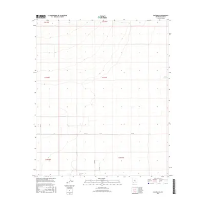
2017 Map of Columbus NE
USGS Topo · Published 2017About this map
Seventysix Draw cuts through this high desert portion of Luna County, defining the drainage patterns of an arid landscape. The map reveals the critical infrastructure of ranching and remote travel in the region, centered on water management features like Buena Vista Tank and Oney Tank. These tanks, essential for livestock in the Chihuahuan Desert, sit amidst a sparse network of county roads and named tracks including Dust Devil Rd and Whirlwind Rd. The grid of the Public Land Survey System is prominently overlaid across the terrain, marking the boundaries of several townships including t27s r7w and t28s r8w. This 2017 study illustrates the intersection of modern cartography and the enduring reality of southwestern land use, where named roads like San Juan and Co Rd B005 navigate the expansive, sparsely populated flats north of the border region.
Find a feature on this map
15 named features on this map. Tap any name to fly to it.
Don’t see what you’re looking for? This feature index may not catch every label — zoom into the map to look around manually.
Map Details
Editions of this 2017 Columbus NE Map
This is the sole edition of this map. No revisions or reprints were ever made.
Other maps of this area

1899 · Deming
USGS Topo · 1:125,000

1915 · Deming
USGS Topo · 1:125,000

1917 · Camel Mountain
USGS Topo · 1:62,500

1917 · Columbus
USGS Topo · 1:62,500

1918 · Columbus
USGS Topo · 1:62,500

1920 · Columbus
USGS Topo · 1:62,500

1953 · El Paso
USGS Topo · 1:250,000

1955 · Las Cruces
USGS Topo · 1:250,000

1958 · Las Cruces
USGS Topo · 1:250,000

1959 · El Paso
USGS Topo · 1:250,000