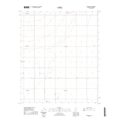
2020 Map of Columbus NE
USGS Topo · Published 2020About this map
Seventysix Draw winds through this arid expanse of Luna County, defining the drainage patterns of a landscape marked by ranching infrastructure and remote desert tracks. The terrain is sparsely settled, with water management being the primary imprint of human activity as seen at Buena Vista Tank and Oney Tank. These water sources are critical landmarks in a region where the topography is subtle and the environment is characterized by wide-open desert floor.
Find a feature on this map
15 named features on this map. Tap any name to fly to it.
Don’t see what you’re looking for? This feature index may not catch every label — zoom into the map to look around manually.
Map Details
Editions of this 2020 Columbus NE Map
This is the sole edition of this map. No revisions or reprints were ever made.
Other maps of this area

1899 · Deming
USGS Topo · 1:125,000

1915 · Deming
USGS Topo · 1:125,000

1917 · Camel Mountain
USGS Topo · 1:62,500

1917 · Columbus
USGS Topo · 1:62,500

1918 · Columbus
USGS Topo · 1:62,500

1920 · Columbus
USGS Topo · 1:62,500

1953 · El Paso
USGS Topo · 1:250,000

1955 · Las Cruces
USGS Topo · 1:250,000

1958 · Las Cruces
USGS Topo · 1:250,000

1959 · El Paso
USGS Topo · 1:250,000