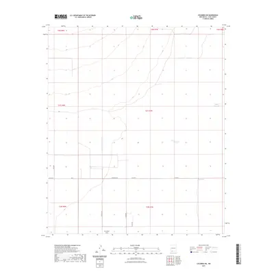
2023 Map of Columbus NE
USGS Topo · Published 2023About this map
Seventysix Draw provides a topographical focal point for this arid corner of Luna County, where the landscape is defined by drainage patterns and critical water catchments. The mapping reveals a network of isolated water sources such as Buena Vista Tank and Oney Tank, which are essential features for land management and ranching in this high-desert environment. The road network consists primarily of county and secondary routes, including the evocatively named Whirlwind Rd and Dust Devil Rd, illustrating the sparse but organized infrastructure of the region. This 2023 survey by the U.S. Geological Survey emphasizes the intersection of natural terrain with modern rural access roads like Co Rd B005 and Co Rd B007.
Find a feature on this map
16 named features on this map. Tap any name to fly to it.
Don’t see what you’re looking for? This feature index may not catch every label — zoom into the map to look around manually.
Map Details
Editions of this 2023 Columbus NE Map
This is the sole edition of this map. No revisions or reprints were ever made.
Other maps of this area

1899 · Deming
USGS Topo · 1:125,000

1915 · Deming
USGS Topo · 1:125,000

1917 · Camel Mountain
USGS Topo · 1:62,500

1917 · Columbus
USGS Topo · 1:62,500

1918 · Columbus
USGS Topo · 1:62,500

1920 · Columbus
USGS Topo · 1:62,500

1953 · El Paso
USGS Topo · 1:250,000

1955 · Las Cruces
USGS Topo · 1:250,000

1958 · Las Cruces
USGS Topo · 1:250,000

1959 · El Paso
USGS Topo · 1:250,000