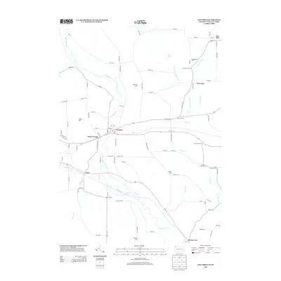
2013 Map of Columbus
USGS Topo · Published 2013About this map
Brokenstraw Cr snakes across this corner of Northwest Pennsylvania, anchoring a rural landscape defined by historic crossroads and small settlements. The community of Columbus serves as a central hub, while smaller locales like Colza, Spring Creek, and Bear Lake reflect the distributed agricultural and timber roots of the region. The map captures a detailed network of family-named landmarks and historical junctions, including Scotts Crossing, Humphreys Corners, and Jacob Kerinsky Corners, which provide essential context for genealogical research.
Find a feature on this map
98 named features on this map. Tap any name to fly to it.
Don’t see what you’re looking for? This feature index may not catch every label — zoom into the map to look around manually.
Map Details
Editions of this 2013 Columbus Map
This is the sole edition of this map. No revisions or reprints were ever made.
Other maps of this area

1904 · Chautaqua
USGS Topo · 1:62,500

1905 · Clymer
USGS Topo · 1:62,500

1926 · Youngsville
USGS Topo · 1:62,500

1929 · Corry
USGS Topo · 1:48,000

1929 · Youngsville
USGS Topo · 1:62,500

1932 · Corry
USGS Topo · 1:62,500

1939 · Clymer
USGS Topo · 1:62,500

1941 · Chautauqua
USGS Topo · 1:62,500

1941 · Clymer
USGS Topo · 1:62,500

1943 · Youngsville
USGS Topo · 1:62,500