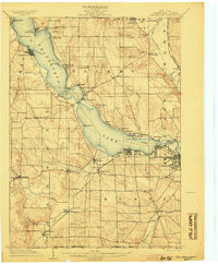
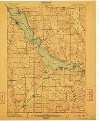
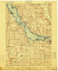
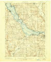
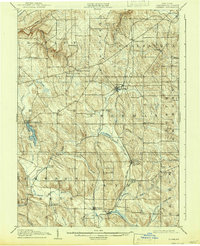
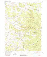
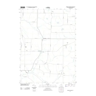
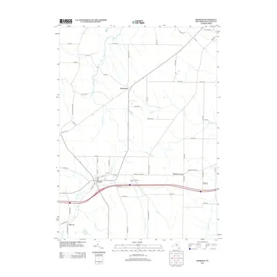
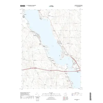
1904 Map of Chautaqua
USGS Topo · Published 1904About this map
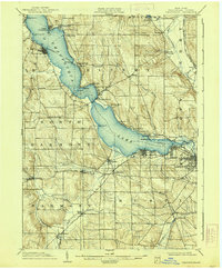
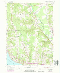
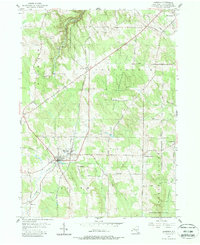
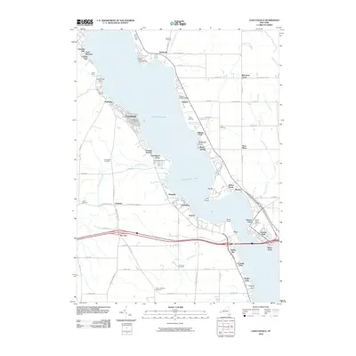
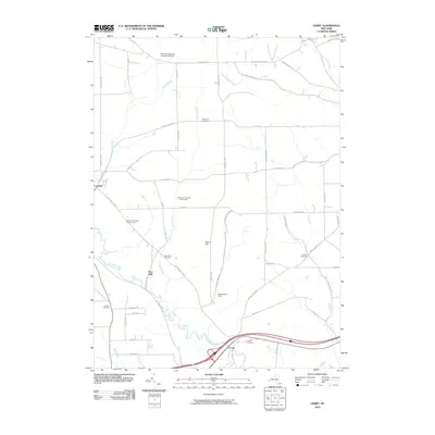
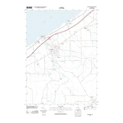
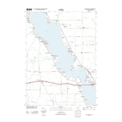
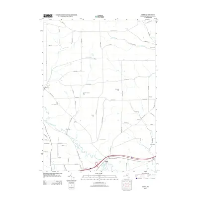
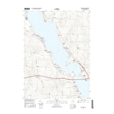
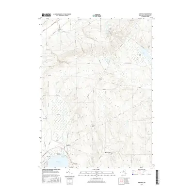
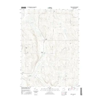
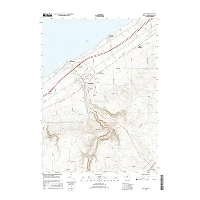
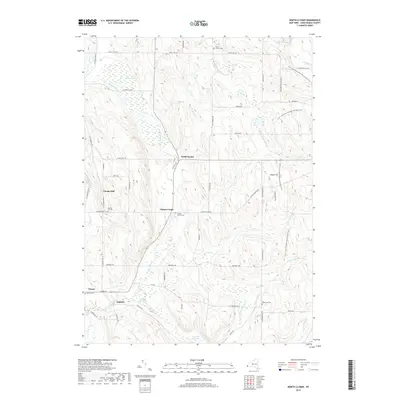
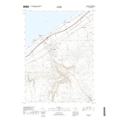
Chautauqua Lake anchors this 1904 topographic study, revealing the dense network of early 20th-century resort culture and transport infrastructure. A marked Steamboat Route traverses the length of the lake, connecting prominent landings and points like Point Chautauqua and Bemus Point. On shore, the Chautauqua Traction Co. and the Jamestown Chautauqua and Lake Erie R.R. parallel the water, indicating how critical rail and water transit were to the regional economy and the growing assembly movement at Chautauqua.
Find a feature on this map
66 named features on this map. Tap any name to fly to it.
Don’t see what you’re looking for? This feature index may not catch every label — zoom into the map to look around manually.
Map Details
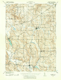
Editions of this 1904 Chautaqua Map
6 editions found
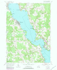
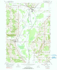
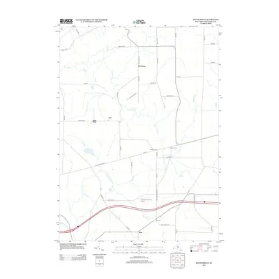
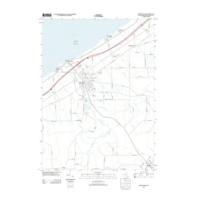
Historical Maps of Jamestown Through Time
103 maps found
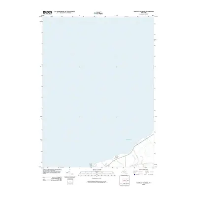
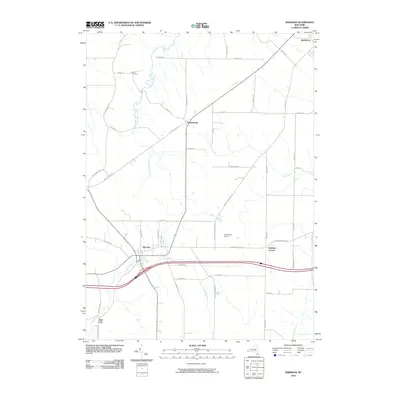
1899 Westfield
Chautauqua County, NY
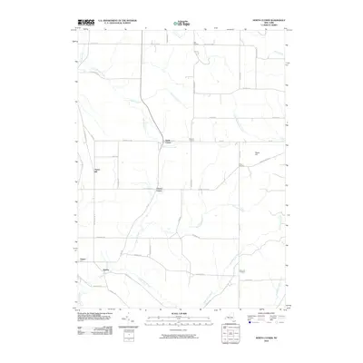
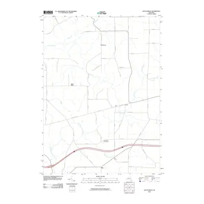
1900 Cherry Creek
Chautauqua County, NY
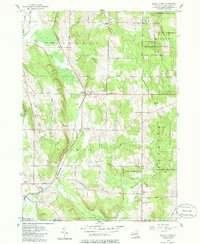
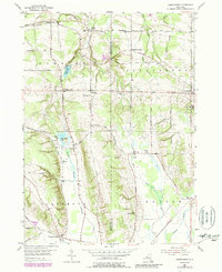
1904 Chautauqua
Chautauqua County, NY
1905 Clymer
Chautauqua County, NY
1939 Clymer
Chautauqua County, NY

1941 Chautauqua
Chautauqua County, NY

1941 Cherry Creek
Chautauqua County, NY

1941 Clymer
Chautauqua County, NY
1954 Chautauqua
Chautauqua County, NY
1954 Cherry Creek
Chautauqua County, NY

1954 Clymer
Chautauqua County, NY
1954 Ellery Center
Chautauqua County, NY
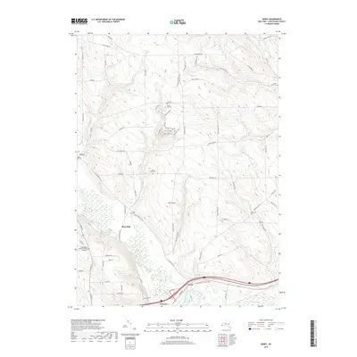
1954 Gerry
Chautauqua County, NY
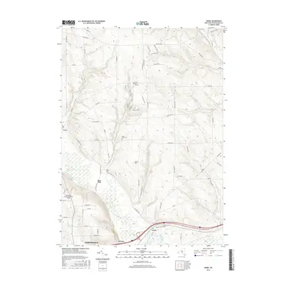
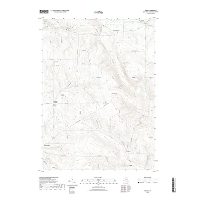
1954 Hamlet
Chautauqua County, NY
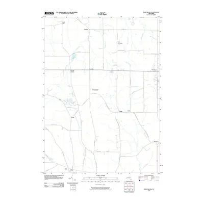
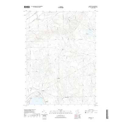
1954 Hartfield
Chautauqua County, NY
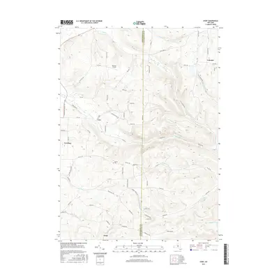
1954 Ivory
Chautauqua County, NY
1954 North Clymer
Chautauqua County, NY
1954 Perrysburg
Chautauqua County, NY
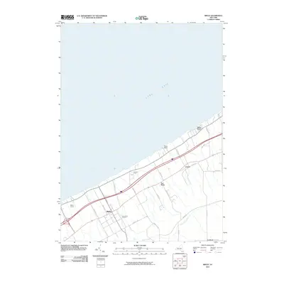
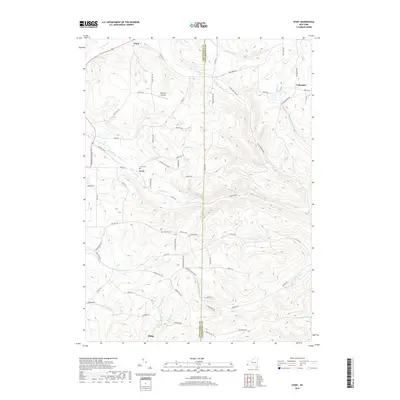
1954 Ripley
Chautauqua County, NY
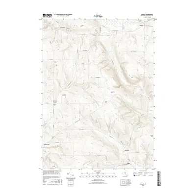
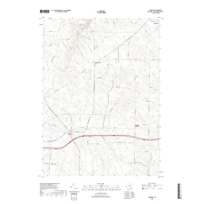
1954 Sherman
Chautauqua County, NY
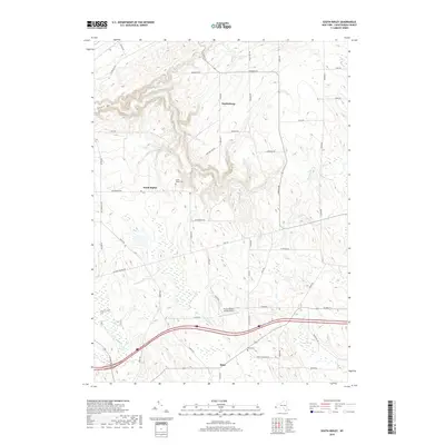
1954 South Ripley
Chautauqua County, NY
1954 Westfield
Chautauqua County, NY
1955 North Of Dunkirk
Chautauqua County, NY
2010 Chautauqua
Chautauqua County, NY
2010 Cherry Creek
Chautauqua County, NY
2010 Clymer
Chautauqua County, NY
2010 Ellery Center
Chautauqua County, NY
2010 Gerry
Chautauqua County, NY
2010 Hamlet
Chautauqua County, NY
2010 Hartfield
Chautauqua County, NY
2010 Ivory
Chautauqua County, NY
2010 North Clymer
Chautauqua County, NY
2010 North of Dunkirk
Chautauqua County, NY
2010 Perrysburg
Chautauqua County, NY
2010 Ripley
Chautauqua County, NY
2010 Sherman
Chautauqua County, NY
2010 South Ripley
Chautauqua County, NY
2010 Westfield
Chautauqua County, NY
2010 Westfield OE N
Chautauqua County, NY
2013 Chautauqua
Chautauqua County, NY
2013 Cherry Creek
Chautauqua County, NY
2013 Clymer
Chautauqua County, NY
2013 Ellery Center
Chautauqua County, NY
2013 Gerry
Chautauqua County, NY
2013 Hamlet
Chautauqua County, NY
2013 Hartfield
Chautauqua County, NY
2013 Ivory
Chautauqua County, NY
2013 North Clymer
Chautauqua County, NY
2013 North of Dunkirk
Chautauqua County, NY
2013 Perrysburg
Chautauqua County, NY
2013 Ripley
Chautauqua County, NY
2013 Sherman
Chautauqua County, NY
2013 South Ripley
Chautauqua County, NY
2013 Westfield
Chautauqua County, NY
2013 Westfield OE N
Chautauqua County, NY
2016 Chautauqua
Chautauqua County, NY
2016 Cherry Creek
Chautauqua County, NY
2016 Clymer
Chautauqua County, NY
2016 Ellery Center
Chautauqua County, NY
2016 Gerry
Chautauqua County, NY
2016 Hamlet
Chautauqua County, NY
2016 Hartfield
Chautauqua County, NY
2016 Ivory
Chautauqua County, NY
2016 North Clymer
Chautauqua County, NY
2016 North of Dunkirk
Chautauqua County, NY
2016 Perrysburg
Chautauqua County, NY
2016 Ripley
Chautauqua County, NY
2016 Sherman
Chautauqua County, NY
2016 South Ripley
Chautauqua County, NY
2016 Westfield
Chautauqua County, NY
2016 Westfield OE N
Chautauqua County, NY
2019 Chautauqua
Chautauqua County, NY
2019 Cherry Creek
Chautauqua County, NY
2019 Clymer
Chautauqua County, NY
2019 Ellery Center
Chautauqua County, NY
2019 Gerry
Chautauqua County, NY
2019 Hamlet
Chautauqua County, NY
2019 Hartfield
Chautauqua County, NY
2019 Ivory
Chautauqua County, NY
2019 North Clymer
Chautauqua County, NY
2019 North of Dunkirk
Chautauqua County, NY
2019 Perrysburg
Chautauqua County, NY
2019 Ripley
Chautauqua County, NY
2019 Sherman
Chautauqua County, NY
2019 South Ripley
Chautauqua County, NY
2019 Westfield
Chautauqua County, NY
2019 Westfield OE N
Chautauqua County, NY

2023 Chautauqua
Chautauqua County, NY

2023 Cherry Creek
Chautauqua County, NY

2023 Clymer
Chautauqua County, NY

2023 Ellery Center
Chautauqua County, NY

2023 Gerry
Chautauqua County, NY

2023 Hamlet
Chautauqua County, NY

2023 Hartfield
Chautauqua County, NY

2023 Ivory
Chautauqua County, NY

2023 North Clymer
Chautauqua County, NY

2023 North of Dunkirk
Chautauqua County, NY

2023 Perrysburg
Chautauqua County, NY

2023 Ripley
Chautauqua County, NY

2023 Sherman
Chautauqua County, NY

2023 South Ripley
Chautauqua County, NY

2023 Westfield
Chautauqua County, NY
2023 Westfield OE N
Chautauqua County, NY