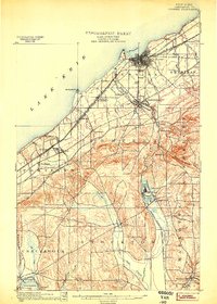
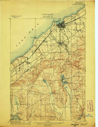
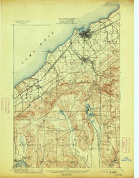
1900 Map of Dunkirk
USGS Topo · Published 1900About this map
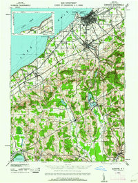
Lake Erie defines the northern edge of this Lake Chautauqua region at the turn of the century, where the industrial harbor of Dunkirk serves as a critical rail nexus. The landscape transitions from the coastal plain into the rolling hills of Pomfret and Charlotte, marked by a dense network of competing railroads including the L. S. and M. S. R. R. and the N. Y. C. and St. L. R. R. (Nickel Plate). Inland, the spiritualist community of Lillydale sits between Mud Pond and the Cassadaga Lake system, illustrating the era's unique social geography. In the southwest, the edge of Chautauqua Lake appears near Mayville, connected to the interior via the Jamestown and Lake Erie R. R.. The map documents a time when small post offices like Van Buren (Cushing P.O.) and rural stations like Moons were vital local hubs.
Find a feature on this map
52 named features on this map. Tap any name to fly to it.
Don’t see what you’re looking for? This feature index may not catch every label — zoom into the map to look around manually.
Map Details
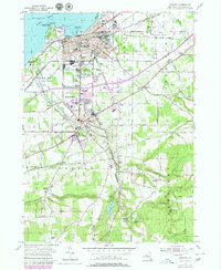
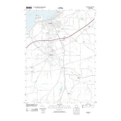
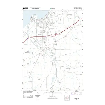
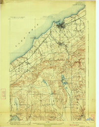
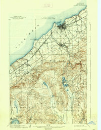
Editions of this 1900 Dunkirk Map
6 editions found
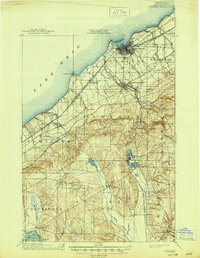
Historical Maps of Pomfret Through Time
8 maps found