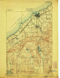
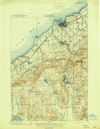
1900 Map of Dunkirk
USGS Topo · Published 1906About this map
Dunkirk and Fredonia anchor this coastal Lake Erie landscape at the turn of the century, serving as a critical rail hub for several competing lines. The shoreline is defined by Van Buren Pt. and the complex trackage of the L. S. and M. S. R. R. and the Erie R. R., which facilitated the movement of goods from the busy port into the interior of Chautauqua County. Further inland, the map captures a cluster of glacial lakes including Upper Lake, Lower Lake, and Cassadaga Lake, where the community of Lillydale is established along the shore.
Find a feature on this map
56 named features on this map. Tap any name to fly to it.
Don’t see what you’re looking for? This feature index may not catch every label — zoom into the map to look around manually.
Map Details
Editions of this 1900 Dunkirk Map
6 editions found
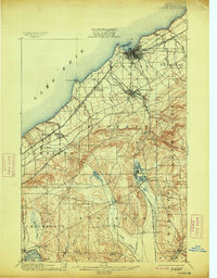
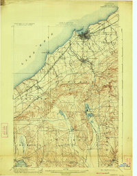
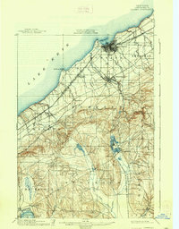
Other maps of this area

1899 · Westfield
USGS Topo · 1:62,500

1899 · Silver Creek
USGS Topo · 1:62,500

1900 · Dunkirk
USGS Topo · 1:62,500

1900 · Cherry Creek
USGS Topo · 1:62,500

1904 · Chautaqua
USGS Topo · 1:62,500

1905 · Clymer
USGS Topo · 1:62,500

1905 · Jamestown
USGS Topo · 1:62,500

1939 · Clymer
USGS Topo · 1:62,500

1941 · Cherry Creek
USGS Topo · 1:62,500

1941 · Chautauqua
USGS Topo · 1:62,500