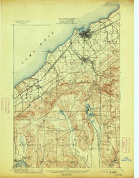
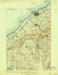
1900 Map of Dunkirk
USGS Topo · Published 1913About this map
The industrial and transit hub of Dunkirk anchors this turn-of-the-century coastal survey, where a complex network of iron rails met the shores of Lake Erie. At this time, the region was a dense corridors of transportation, with the L. S. and M. S. R. R. and the Erie R. R. facilitating a bustling lakefront economy. Inland, the landscape transitions from the coastal plains to the rolling hills of Pomfret and Stockton, revealing a pattern of clustered settlements like Fredonia and the lakeside assembly grounds at Lillydale.
Find a feature on this map
53 named features on this map. Tap any name to fly to it.
Don’t see what you’re looking for? This feature index may not catch every label — zoom into the map to look around manually.
Map Details
Editions of this 1900 Dunkirk Map
6 editions found
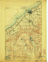
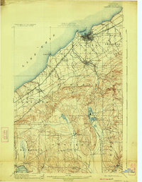
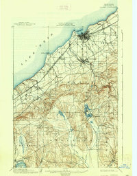
Other maps of this area

1899 · Westfield
USGS Topo · 1:62,500

1899 · Silver Creek
USGS Topo · 1:62,500

1900 · Dunkirk
USGS Topo · 1:62,500

1900 · Cherry Creek
USGS Topo · 1:62,500

1904 · Chautaqua
USGS Topo · 1:62,500

1905 · Clymer
USGS Topo · 1:62,500

1905 · Jamestown
USGS Topo · 1:62,500

1939 · Clymer
USGS Topo · 1:62,500

1941 · Cherry Creek
USGS Topo · 1:62,500

1941 · Chautauqua
USGS Topo · 1:62,500