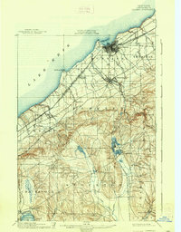
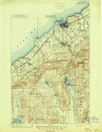
1900 Map of Dunkirk
USGS Topo · Published 1938About this map
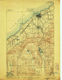
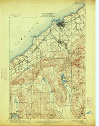
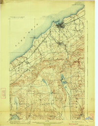
Industrial and maritime activity defines the northern shoreline of this survey, where Dunkirk serves as a major rail hub on the coast of Lake Erie. At the turn of the century, a dense network of competing lines, including the Nickel Plate and the Erie R. R., funnels through this harbor town and toward Fredonia. Moving inland, the landscape shifts from the lake-plain vineyards to the rising topography of the Chautauqua hills. Here, the map reveals the spiritualist community of Lily Dale situated between Upper Lake and Lower Lake. To the southwest, the headwaters of Chautauqua Lake appear at Hartfield, while rural crossroads like Sinclairville and Arkwright Falls mark the agricultural uplands. This area preserves the late-nineteenth-century settlement pattern of Chautauqua County before modern highways altered the local corridors.
Find a feature on this map
51 named features on this map. Tap any name to fly to it.
Don’t see what you’re looking for? This feature index may not catch every label — zoom into the map to look around manually.
Map Details
Editions of this 1900 Dunkirk Map
6 editions found
Other maps of this area

1899 · Westfield
USGS Topo · 1:62,500

1899 · Silver Creek
USGS Topo · 1:62,500

1900 · Dunkirk
USGS Topo · 1:62,500

1900 · Cherry Creek
USGS Topo · 1:62,500

1904 · Chautaqua
USGS Topo · 1:62,500

1905 · Clymer
USGS Topo · 1:62,500

1905 · Jamestown
USGS Topo · 1:62,500

1939 · Clymer
USGS Topo · 1:62,500

1941 · Cherry Creek
USGS Topo · 1:62,500

1941 · Chautauqua
USGS Topo · 1:62,500