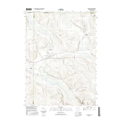
2016 Map of Columbus
USGS Topo · Published 2016About this map
Brokenstraw Creek and its many tributaries, including Coffee Creek and Hare Creek, define the drainage of this Pennsylvania-New York borderland. The village of Columbus sits at a central crossroads where Route 6 meets several local routes, flanked by the Westlawn Cem and Curtis Cem. To the north, the landscape transitions into significant wetland areas like the Tamarack Swamp and Beilson Swamp, interspersed with prominent high points such as Humphrey Hill and Ingersoll Hill. The settlement patterns here follow the valley floors and the rise of the hills, with small communities like Pine Valley and Colza linked by a network of rural roads such as Doud Hill Road and Old Pine Valley Road. The map provides a look at the intersection of Erie, Warren, and Chautauqua counties during a period of modern rural stability.
Find a feature on this map
80 named features on this map. Tap any name to fly to it.
Don’t see what you’re looking for? This feature index may not catch every label — zoom into the map to look around manually.
Map Details
Editions of this 2016 Columbus Map
This is the sole edition of this map. No revisions or reprints were ever made.
Other maps of this area

1904 · Chautaqua
USGS Topo · 1:62,500

1905 · Clymer
USGS Topo · 1:62,500

1926 · Youngsville
USGS Topo · 1:62,500

1929 · Corry
USGS Topo · 1:48,000

1929 · Youngsville
USGS Topo · 1:62,500

1932 · Corry
USGS Topo · 1:62,500

1939 · Clymer
USGS Topo · 1:62,500

1941 · Chautauqua
USGS Topo · 1:62,500

1941 · Clymer
USGS Topo · 1:62,500

1943 · Youngsville
USGS Topo · 1:62,500