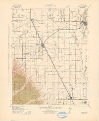
1942 Map of Colusa
USGS Topo · Published 1942About this map
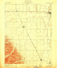
Agricultural development and water management define the Central Valley landscape of Colusa County as seen in this 1940s survey. The Southern Pacific (Woodland Line) serves as a primary north-south axis, connecting the larger settlements of Williams and Arbuckle while passing through smaller stops like Genevra (Berlin) and Macy. The engineering of the land is visible through an extensive network of irrigation, including the Lurline Canal and the Cheney Slough and Irrigation Canal, which divert water across the plains to support the region's farms.
Find a feature on this map
45 named features on this map. Tap any name to fly to it.
Don’t see what you’re looking for? This feature index may not catch every label — zoom into the map to look around manually.
Map Details
Editions of this 1942 Colusa Map
This is the sole edition of this map. No revisions or reprints were ever made.
Other maps of this area

1888 · Marysville
USGS Topo · 1:125,000

1891 · Marysville
USGS Topo · 1:125,000

1894 · Marysville
USGS Topo · 1:125,000

1895 · Marysville
USGS Topo · 1:125,000
1904 · Sites
USGS Topo · 1:24,000

1905 · Harrington
USGS Topo · 1:24,000

1905 · Fairview
USGS Topo · 1:24,000
1906 · Maxwell
USGS Topo · 1:62,500
1907 · Dunnigan
USGS Topo · 1:62,500
1907 · Colusa
USGS Topo · 1:62,500