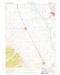
1953 Map of Colusa
USGS Topo · Published 1969About this map
The Sacramento River meanders through the eastern edge of this mid-century landscape, defining the character of a region heavily shaped by water management and transit. The Southern Pacific railroad serves as the primary spine for agricultural transport, connecting several established settlements including Colusa, Williams, and Arbuckle. The complexity of the local irrigation and drainage system is evident in the network of features like the Colusa Basin Drainage Canal and the Trough Canal, which sustain the surrounding fields.
Find a feature on this map
77 named features on this map. Tap any name to fly to it.
Don’t see what you’re looking for? This feature index may not catch every label — zoom into the map to look around manually.
Map Details
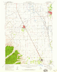
Editions of this 1953 Colusa Map
2 editions found
Other maps of this area

1888 · Marysville
USGS Topo · 1:125,000

1891 · Marysville
USGS Topo · 1:125,000

1894 · Marysville
USGS Topo · 1:125,000

1895 · Marysville
USGS Topo · 1:125,000

1904 · Sites
USGS Topo · 1:24,000

1905 · Harrington
USGS Topo · 1:24,000

1905 · Fairview
USGS Topo · 1:24,000

1906 · Maxwell
USGS Topo · 1:62,500

1907 · Dunnigan
USGS Topo · 1:62,500

1907 · Colusa
USGS Topo · 1:62,500