
1906 Map of Maxwell
USGS Topo · Published 1906About this map
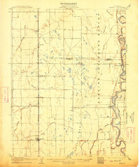
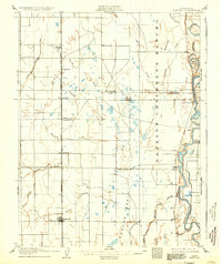
Larkin's Rancho dominates the eastern landscape of this early 20th-century survey, illustrating the persistence of large land grants in the Sacramento Valley. The agricultural development of the region is clearly visible through the extensive network of the Central Irrigation Canal and the Cheney Slough and Irrigation Company Canal, which divert water to support the burgeoning farms of Colusa and Glenn Counties. Along the Sacramento River, riverboat culture is evidenced by Boggs Landing and Compton Landing, serving as vital transit points before the full dominance of the rails.
Find a feature on this map
32 named features on this map. Tap any name to fly to it.
Don’t see what you’re looking for? This feature index may not catch every label — zoom into the map to look around manually.
Map Details
Editions of this 1906 Maxwell Map
3 editions found
Other maps of this area

1888 · Marysville
USGS Topo · 1:125,000

1891 · Chico
USGS Topo · 1:125,000

1891 · Marysville
USGS Topo · 1:125,000

1893 · Chico
USGS Topo · 1:125,000

1894 · Marysville
USGS Topo · 1:125,000

1895 · Marysville
USGS Topo · 1:125,000

1895 · Chico
USGS Topo · 1:125,000

1904 · Logan Creek
USGS Topo · 1:24,000

1904 · Sites
USGS Topo · 1:24,000

1905 · Fairview
USGS Topo · 1:24,000