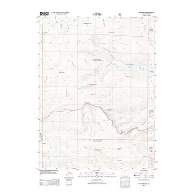
2013 Map of Comanche Peak
USGS Topo · Published 2013About this map
Comanche Peak and the high peaks of the Mummy Range dominate this high-altitude landscape where Rocky Mountain National Park meets the Roosevelt National Forest. The map documents a complex hydrological network defined by the Cache la Poudre River and its major tributaries, including the South Fork Cache la Poudre River and Cascade Creek. Significant water management features are evident through the Comanche Reservoir and Hourglass Reservoir, which sit among natural basins like Mirror Lake and Timberline Lake. This environment is carved by an extensive network of named forest paths, such as Flowers Trail 939 and the Mirror Lake Trail 943, providing a record of the trail systems and access points used in this alpine terrain. Strategic high-country crossings including Mummy Pass, Flint Pass, and Icefield Pass illustrate the historical movement patterns through these mountain gaps.
Find a feature on this map
49 named features on this map. Tap any name to fly to it.
Don’t see what you’re looking for? This feature index may not catch every label — zoom into the map to look around manually.
Map Details
Editions of this 2013 Comanche Peak Map
This is the sole edition of this map. No revisions or reprints were ever made.
Other maps of this area

1915 · Longs Peak
USGS Topo · 1:125,000

1916 · Home
USGS Topo · 1:125,000

1919 · Rocky Mountain National Park
USGS Topo · 1:125,000

1920 · Home
USGS Topo · 1:125,000

1954 · Greeley
USGS Topo · 1:250,000

1957 · Greeley
USGS Topo · 1:250,000

1957 · Trail Ridge
USGS Topo · 1:24,000

1957 · Estes Park
USGS Topo · 1:24,000

1958 · Greeley
USGS Topo · 1:250,000
1958 · Fall River Pass
USGS Topo · 1:24,000