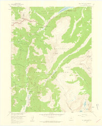
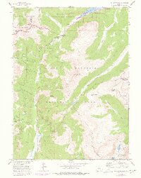
1958 Map of Fall River Pass
USGS Topo · Published 1959About this map
Lulu City (Site) sits near the headwaters of the Colorado River, a reminder of the short-lived silver mining boom that once occupied this high mountain valley. This 1958 survey captures the intricate water management infrastructure of the era, including the Grand Ditch and Upper Michigan Ditch, which divert water across the Continental Divide to the eastern plains. The landscape is dominated by the massive presence of Specimen Mountain and Jackstraw Mountain, with tourism-era infrastructure like the Phantom Valley Trading Post and Milner Pass Road Camp supporting travel along the Trail Ridge Road. Numerous high-altitude lakes, including Iceberg Lake and Poudre Lake, are documented alongside the La Poudre Pass Ranger Station, marking the intersection of conservation, recreation, and early industrial water rights.
Find a feature on this map
75 named features on this map. Tap any name to fly to it.
Don’t see what you’re looking for? This feature index may not catch every label — zoom into the map to look around manually.
Map Details
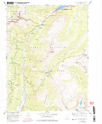
Editions of this 1958 Fall River Pass Map
6 editions found
Other maps of this area

1915 · Longs Peak
USGS Topo · 1:125,000

1916 · Home
USGS Topo · 1:125,000

1919 · Rocky Mountain National Park
USGS Topo · 1:125,000

1920 · Home
USGS Topo · 1:125,000

1954 · Greeley
USGS Topo · 1:250,000

1957 · Greeley
USGS Topo · 1:250,000

1957 · Mc Henrys Peak
USGS Topo · 1:24,000

1957 · Trail Ridge
USGS Topo · 1:24,000

1957 · Mount Richthofen
USGS Topo · 1:24,000

1957 · Bowen Mountain
USGS Topo · 1:24,000