
1957 Map of Mount Richthofen
USGS Topo · Published 1959About this map
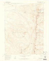
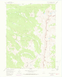
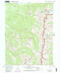
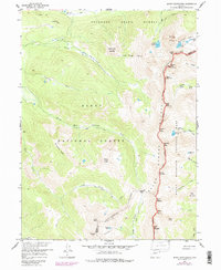
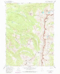
The Continental Divide winds through this high-altitude landscape, serving as the jagged spine between the Jackson Co Grand Co line. The map illustrates a dense concentration of peaks within the Never Summer Mountains, including the titular Mount Richthofen and the weather-themed series of Mount Cirrus, Mount Cumulus, Mount Nimbus, and Mount Stratus. These summits form a dramatic backdrop for the headwaters of the Michigan River and its South Fork Michigan River, which drain the eastern slopes of the Routt National Forest. High mountain basins hold numerous alpine water bodies such as Lake Agnes, the Michigan Lakes, and Parika Lake. The convergence of Rocky Mountain National Park and the Colorado State Forest underscores the protected status of this wilderness area in the late 1950s, reachable only via the occasional trail or unimproved dirt road like the one near Baker Pass.
Find a feature on this map
49 named features on this map. Tap any name to fly to it.
Don’t see what you’re looking for? This feature index may not catch every label — zoom into the map to look around manually.
Map Details
Editions of this 1957 Mount Richthofen Map
9 editions found
Other maps of this area

1915 · Longs Peak
USGS Topo · 1:125,000

1916 · Home
USGS Topo · 1:125,000

1919 · Rocky Mountain National Park
USGS Topo · 1:125,000

1920 · Home
USGS Topo · 1:125,000

1954 · Greeley
USGS Topo · 1:250,000

1954 · Craig
USGS Topo · 1:250,000

1955 · Gould
USGS Topo · 1:24,000

1956 · Radial Mountain
USGS Topo · 1:24,000

1956 · Jack Creek Ranch
USGS Topo · 1:24,000

1956 · Rand
USGS Topo · 1:62,500