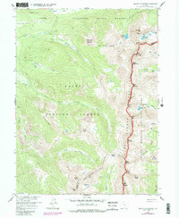
1957 Map of Mount Richthofen
USGS Topo · Published 1988About this map
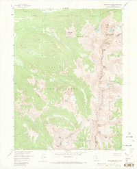
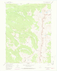
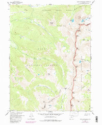
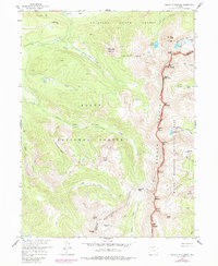
The Never Summer Mountains form a dramatic spine through this high-altitude landscape, where the Continental Divide serves as the boundary between Jackson and Grand Counties. Recorded in the late 1950s with updates from the 1970s, the map reveals a rugged wilderness defined by peak after peak, including Mount Richthofen, Mount Cirrus, and Mount Nimbus. This area is a critical watershed, with the Michigan River and Illinois River rising from the snowmelt of alpine basins like those holding Lake of the Clouds and Parika Lake.
Find a feature on this map
51 named features on this map. Tap any name to fly to it.
Don’t see what you’re looking for? This feature index may not catch every label — zoom into the map to look around manually.
Map Details
Editions of this 1957 Mount Richthofen Map
9 editions found

Other maps of this area

1915 · Longs Peak
USGS Topo · 1:125,000

1916 · Home
USGS Topo · 1:125,000

1919 · Rocky Mountain National Park
USGS Topo · 1:125,000

1920 · Home
USGS Topo · 1:125,000

1954 · Greeley
USGS Topo · 1:250,000

1954 · Craig
USGS Topo · 1:250,000

1955 · Gould
USGS Topo · 1:24,000

1956 · Radial Mountain
USGS Topo · 1:24,000

1956 · Jack Creek Ranch
USGS Topo · 1:24,000

1956 · Rand
USGS Topo · 1:62,500