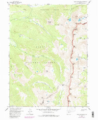
1957 Map of Mount Richthofen
USGS Topo · Published 1988About this map
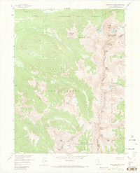
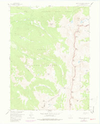
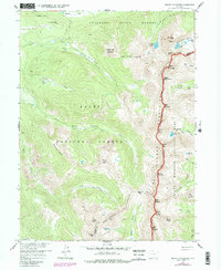
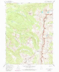
The Continental Divide carves a high-altitude spine through this landscape, marking the boundary between Jackson and Grand counties. This survey, grounded in 1950s observations with late-1970s updates, depicts the dramatic intersection of the Never Summer Mountains and three major protected areas: Rocky Mountain National Park, Routt National Forest, and the Colorado State Forest. The headwaters of the Michigan River and South Fork Michigan River emerge from high glacial basins, while steep drainage features like Box Canyon and Skeleton Gulch define the eastern slopes. A network of high-country paths, including the Michigan River Trail and Jack Creek Trail, provide the primary means of traversing this wilderness. Notable peaks like Mount Richthofen and the Nokhu Crags loom over alpine waters such as Lake Agnes and Snow Lake, illustrating the topographical complexity of the Front Range before modern development reached these higher elevations.
Find a feature on this map
51 named features on this map. Tap any name to fly to it.
Don’t see what you’re looking for? This feature index may not catch every label — zoom into the map to look around manually.
Map Details
Editions of this 1957 Mount Richthofen Map
9 editions found

Other maps of this area

1915 · Longs Peak
USGS Topo · 1:125,000

1916 · Home
USGS Topo · 1:125,000

1919 · Rocky Mountain National Park
USGS Topo · 1:125,000

1920 · Home
USGS Topo · 1:125,000

1954 · Greeley
USGS Topo · 1:250,000

1954 · Craig
USGS Topo · 1:250,000

1955 · Gould
USGS Topo · 1:24,000

1956 · Radial Mountain
USGS Topo · 1:24,000

1956 · Jack Creek Ranch
USGS Topo · 1:24,000

1956 · Rand
USGS Topo · 1:62,500