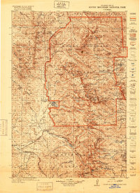
1956 Map of Radial Mountain
USGS Topo · Published 1957About this map
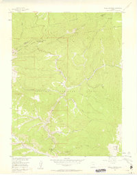
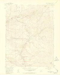
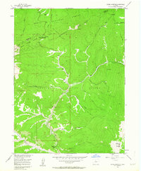
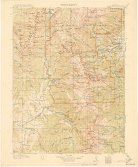
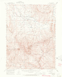
Radial Mountain and the Never Summer Range dominate this high-altitude landscape along the Continental Divide, where the boundaries of the Routt National Forest and Arapaho National Forest converge. This mid-1950s survey captures a wilderness infrastructure built around forestry and transit, notably the Gilsonite Guard Station and a Road Camp situated near the northern boundary. The terrain is defined by the intersection of the Rabbit Ears Range and the Divide at Willow Creek Pass, a critical passage for the Willow Pass Trail and a designated stock drive. Small outposts like Mutstay are scattered among a complex drainage system fed by Willow Creek, Trout Creek, and Denver Creek, illustrating how resource management and seasonal transport routes shaped the remote interior of the Rocky Mountains during this era.
Find a feature on this map
28 named features on this map. Tap any name to fly to it.
Don’t see what you’re looking for? This feature index may not catch every label — zoom into the map to look around manually.
Map Details
Editions of this 1956 Radial Mountain Map
4 editions found

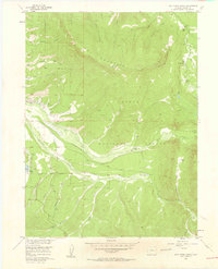
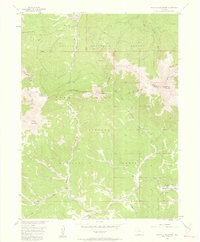
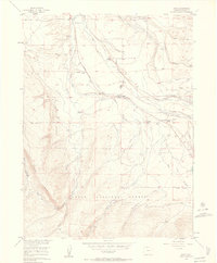
Other maps of this area
1915 · Longs Peak
USGS Topo · 1:125,000
1919 · Rocky Mountain National Park
USGS Topo · 1:125,000

1954 · Greeley
USGS Topo · 1:250,000

1954 · Craig
USGS Topo · 1:250,000
1956 · Jack Creek Ranch
USGS Topo · 1:24,000
1956 · Parkview Mountain
USGS Topo · 1:24,000
1956 · Rand
USGS Topo · 1:24,000
1956 · Rand
USGS Topo · 1:62,500

1957 · Craig
USGS Topo · 1:250,000

1957 · Greeley
USGS Topo · 1:250,000