
1956 Map of Rand
USGS Topo · Published 1958About this map
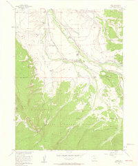
The Illinois River and its numerous tributaries, including Willow Creek and Sutton Creek, anchor this high-country landscape in North Park. The settlement of Rand serves as the primary hub, evidenced by the Rand Sch and Rand Cem located along the valley floor. The map documents a well-established ranching economy during the mid-1950s, with several family-named operations such as Howard Ranch, Fuqua Ranch, and the Stephens Brothers Ranch scattered across the basin.
Find a feature on this map
42 named features on this map. Tap any name to fly to it.
Don’t see what you’re looking for? This feature index may not catch every label — zoom into the map to look around manually.
Map Details
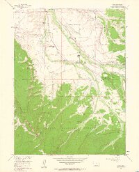
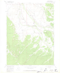
Editions of this 1956 Rand Map
4 editions found
Other maps of this area

1954 · Craig
USGS Topo · 1:250,000

1955 · Gould
USGS Topo · 1:24,000

1955 · Owl Ridge
USGS Topo · 1:24,000

1955 · Mac Farlane Reservoir
USGS Topo · 1:24,000

1955 · Walden
USGS Topo · 1:62,500

1956 · Radial Mountain
USGS Topo · 1:24,000

1956 · Jack Creek Ranch
USGS Topo · 1:24,000

1956 · Parkview Mountain
USGS Topo · 1:24,000

1956 · Buffalo Peak
USGS Topo · 1:24,000

1956 · Hyannis Peak
USGS Topo · 1:24,000