
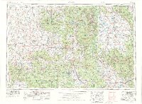
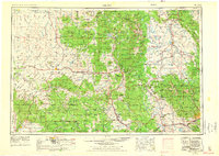
1954 Map of Craig
USGS Topo · Published 1973About this map
The Continental Divide winds through this mid-century landscape, separating the high basins of North Park and Middle Park from the western slope drainage of the Yampa River. Centered on the ranching and coal-mining hub of Craig, the map documents the transition from high-mountain forests to the open plateaus of Northwest Colorado. Industrial footprints are evident in the Denver and Rio Grande Western rail line serving towns like Oak Creek and Phippsburg, while the emerging recreational landscape is marked by the boundaries of Rocky Mountain National Park and several national forests. The map records a time before the widespread inundation of regional reservoirs, showing Lake Granby and Shadow Mountain Lake as prominent water bodies while other basins remain as natural valleys or smaller stream networks like Troublesome Creek.
Find a feature on this map
87 named features on this map. Tap any name to fly to it.
Don’t see what you’re looking for? This feature index may not catch every label — zoom into the map to look around manually.
Map Details
Editions of this 1954 Craig Map
3 editions found
Other maps of this area

1895 · Laramie
USGS Topo · 1:125,000

1902 · Laramie
USGS Topo · 1:125,000

1905 · Laramie
USGS Topo · 1:125,000

1906 · Medicine Bow
USGS Topo · 1:125,000

1906 · Laramie
USGS Topo · 1:125,000

1906 · Grand Hogback
USGS Topo · 1:125,000

1907 · White River
USGS Topo · 1:125,000

1908 · Laramie
USGS Topo · 1:125,000

1908 · Medicine Bow
USGS Topo · 1:125,000

1910 · Danforth Hills
USGS Topo · 1:125,000