
1956 Map of Buffalo Peak
USGS Topo · Published 1958About this map
Wheatley Ranch and Buffalo Ranch anchor a high-altitude ranching landscape in the mid-1950s, where private landholdings meet the sprawling Routt National Forest. The map documents a complex water management system essential for high-country agriculture, featuring several named catchments like Slack-Weiss Reservoir, Two Ledge Reservoir, and House Reservoir. These man-made features contrast with the natural alpine topography of Buffalo Peak and the surrounding Buffalo Ridge.
Find a feature on this map
30 named features on this map. Tap any name to fly to it.
Don’t see what you’re looking for? This feature index may not catch every label — zoom into the map to look around manually.
Map Details
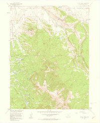
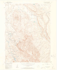
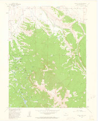
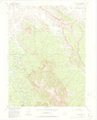
Editions of this 1956 Buffalo Peak Map
5 editions found
Other maps of this area

1954 · Craig
USGS Topo · 1:250,000

1955 · Coalmont
USGS Topo · 1:24,000

1955 · Owl Ridge
USGS Topo · 1:24,000

1955 · Mac Farlane Reservoir
USGS Topo · 1:24,000

1955 · Walden
USGS Topo · 1:62,500

1956 · Spicer Peak
USGS Topo · 1:24,000

1956 · Parkview Mountain
USGS Topo · 1:24,000

1956 · Whiteley Peak
USGS Topo · 1:24,000

1956 · Hyannis Peak
USGS Topo · 1:24,000

1956 · Rand
USGS Topo · 1:24,000