
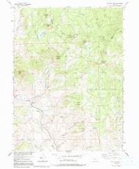
1956 Map of Whiteley Peak
USGS Topo · Published 1958About this map
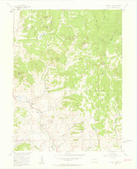
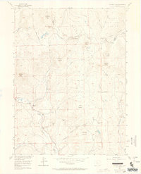
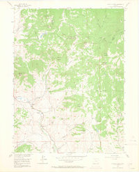
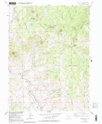
The Rabbit Ears Range and the Continental Divide dominate this mid-century landscape where Jackson and Grand counties meet. This high-country region is defined by its working cattle ranching heritage, with private holdings like Haworth Ranch and Ritschard Ranch established along the drainage of Muddy Creek. A single community institution, the Muddy Valley Sch, serves as a landmark for the dispersed families of the valley. The map documents an era of established alpine grazing and timber access within the Routt National Forest, connected to the outside world by U.S. 40 and Colo. 84. Notable topographic features such as Grannys Nipple, Chimney Rock, and Whiteley Peak provide significant navigational points for researchers of early Colorado high-country settlement and land use.
Find a feature on this map
35 named features on this map. Tap any name to fly to it.
Don’t see what you’re looking for? This feature index may not catch every label — zoom into the map to look around manually.
Map Details
Editions of this 1956 Whiteley Peak Map
6 editions found
Other maps of this area

1954 · Craig
USGS Topo · 1:250,000

1956 · Rabbit Ears Peak
USGS Topo · 1:24,000

1956 · Lake Agnes
USGS Topo · 1:24,000

1956 · Kremmling
USGS Topo · 1:62,500

1956 · Spicer Peak
USGS Topo · 1:24,000

1956 · Buffalo Peak
USGS Topo · 1:24,000

1956 · Hyannis Peak
USGS Topo · 1:24,000

1956 · Gore Pass
USGS Topo · 1:62,500

1956 · Hyannis Peak
USGS Topo · 1:62,500

1956 · Rabbit Ears Peak
USGS Topo · 1:62,500