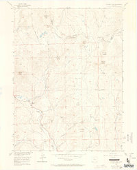
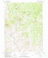
1956 Map of Whiteley Peak
USGS Topo · Published 1964About this map
The Continental Divide winds through the high country of the Rabbit Ears Range on this mid-century survey of the Routt National Forest boundary. The landscape is defined by the headwaters of Muddy Creek, which flows past the Muddy Valley Sch and several established family holdings. Evidence of the early ranching economy of Grand and Jackson Counties is seen in the presence of the Haworth Ranch, Ritschard Ranch, and Dietrich Ranch along the creek bottoms.
Find a feature on this map
35 named features on this map. Tap any name to fly to it.
Don’t see what you’re looking for? This feature index may not catch every label — zoom into the map to look around manually.
Map Details
Editions of this 1956 Whiteley Peak Map
6 editions found
Other maps of this area

1954 · Craig
USGS Topo · 1:250,000

1956 · Rabbit Ears Peak
USGS Topo · 1:24,000

1956 · Lake Agnes
USGS Topo · 1:24,000

1956 · Kremmling
USGS Topo · 1:62,500

1956 · Spicer Peak
USGS Topo · 1:24,000

1956 · Buffalo Peak
USGS Topo · 1:24,000

1956 · Whiteley Peak
USGS Topo · 1:24,000

1956 · Hyannis Peak
USGS Topo · 1:24,000

1956 · Gore Pass
USGS Topo · 1:62,500

1956 · Hyannis Peak
USGS Topo · 1:62,500