
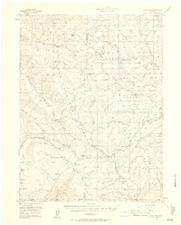
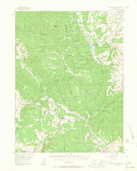
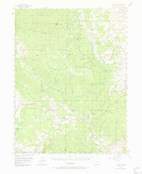
1956 Map of Gore Pass
USGS Topo · Published 1958About this map
Gore Pass and Lynx Pass dominate this 1950s survey of the high mountain divide between Routt and Grand Counties. The landscape is a working wilderness managed by the Routt National Forest and Arapaho National Forest, characterized by an extensive network of timber and livestock operations. Industry is evident at the Strutsell Sawmill and multiple Lumber Camps, while remote ranching life is marked by the Snowshoe Ranch, Lone Cow Ranch, and Pinney Ranch. Water management is central to the area's geography, shown through the Mc Mahon Reservoir (Red Dirt Reservoir), Hadley Reservoir, and numerous Beaver Ponds along drainages like Morrison Creek and Red Dirt Creek. This era of the forest also includes the Bible Institute Camp, signifying the diverse recreational and communal uses of the high country during the mid-century.
Find a feature on this map
60 named features on this map. Tap any name to fly to it.
Don’t see what you’re looking for? This feature index may not catch every label — zoom into the map to look around manually.
Map Details
Editions of this 1956 Gore Pass Map
4 editions found
Other maps of this area

1933 · Mt. Powell
USGS Topo · 1:48,000

1940 · Mount Powell
USGS Topo · 1:62,500

1954 · Craig
USGS Topo · 1:250,000

1956 · Lake Agnes
USGS Topo · 1:24,000

1956 · Kremmling
USGS Topo · 1:62,500

1956 · Whiteley Peak
USGS Topo · 1:24,000

1956 · Walton Peak
USGS Topo · 1:24,000

1956 · Hyannis Peak
USGS Topo · 1:62,500

1956 · Rabbit Ears Peak
USGS Topo · 1:62,500

1957 · Craig
USGS Topo · 1:250,000