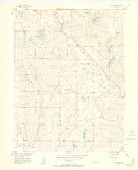
1956 Map of Walton Peak
USGS Topo · Published 1958About this map
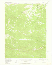
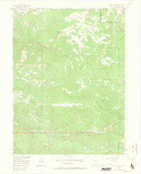
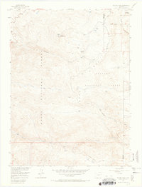
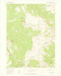
Walton Peak anchors this mid-century topographic study of the high country where the Gore Range meets the continental divide. In the mid-1950s, this area remained largely defined by its natural drainage systems and primitive access routes, such as the Buffalo Park Trail. The landscape is dominated by the intersection of the Routt National Forest and Arapaho National Forest, with the boundary between Routt and Grand counties cutting through the northeastern sector.
Find a feature on this map
16 named features on this map. Tap any name to fly to it.
Don’t see what you’re looking for? This feature index may not catch every label — zoom into the map to look around manually.
Map Details
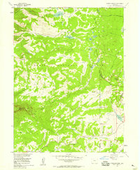
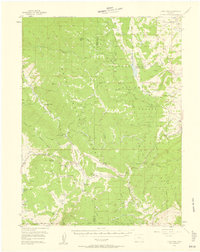
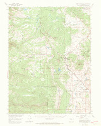
Editions of this 1956 Walton Peak Map
4 editions found

Other maps of this area

1954 · Craig
USGS Topo · 1:250,000
1956 · Rabbit Ears Peak
USGS Topo · 1:24,000
1956 · Lake Agnes
USGS Topo · 1:24,000
1956 · Storm Mountain
USGS Topo · 1:24,000
1956 · Gore Pass
USGS Topo · 1:62,500
1956 · Rabbit Ears Peak
USGS Topo · 1:62,500

1957 · Craig
USGS Topo · 1:250,000

1958 · Craig
USGS Topo · 1:250,000

1960 · Craig
USGS Topo · 1:250,000

1962 · Craig
USGS Topo · 1:250,000