
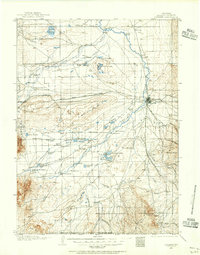
1962 Map of Craig
USGS Topo · Published 1962About this map
The Continental Divide anchors this high-country survey, tracing the crest through the Park Range and Rabbit Ears Range. During the early 1960s, Northwest Colorado was characterized by sprawling ranching lands and isolated mining settlements like Coalmont and Axial. The Denver and Rio Grande Western railroad provides a vital industrial corridor through the Yampa River valley, connecting Steamboat Springs with the coal and agricultural hubs of Hayden, Milner, and Craig. Extensive protected lands including the Routt National Forest and White River National Forest dominate the topography. To the east, the headwaters of the Colorado River gather near Lake Granby and Grand Lake, while the north features the Little Snake River winding toward the Wyoming border through Moffat County and Routt County.
Find a feature on this map
163 named features on this map. Tap any name to fly to it.
Don’t see what you’re looking for? This feature index may not catch every label — zoom into the map to look around manually.
Map Details
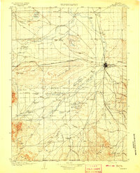
Editions of this 1962 Craig Map
This is the sole edition of this map. No revisions or reprints were ever made.
Other maps of this area

1895 · Laramie
USGS Topo · 1:125,000

1902 · Laramie
USGS Topo · 1:125,000

1905 · Laramie
USGS Topo · 1:125,000

1906 · Medicine Bow
USGS Topo · 1:125,000
1906 · Laramie
USGS Topo · 1:125,000

1906 · Grand Hogback
USGS Topo · 1:125,000

1907 · White River
USGS Topo · 1:125,000
1908 · Laramie
USGS Topo · 1:125,000

1908 · Medicine Bow
USGS Topo · 1:125,000

1910 · Danforth Hills
USGS Topo · 1:125,000