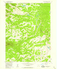
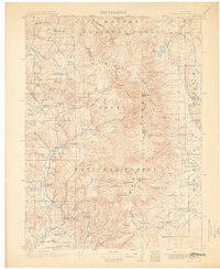
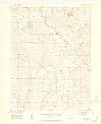
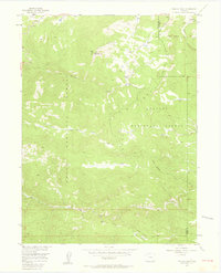
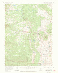
1956 Map of Storm Mountain
USGS Topo · Published 1958About this map
The Continental Divide and the Gore Range dominate this mid-century survey of high-elevation terrain in the Routt National Forest. The landscape is defined by its complex hydrology, with numerous glacial lakes and reservoirs such as Fish Creek Reservoir, Long Lake, and Dumont Lake dotting the alpine environment. These waters feed prominent cascades including Fish Creek Falls and Walton Falls, emphasizing the area's role as a vital watershed.
Find a feature on this map
39 named features on this map. Tap any name to fly to it.
Don’t see what you’re looking for? This feature index may not catch every label — zoom into the map to look around manually.
Map Details
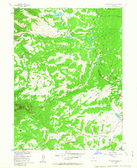
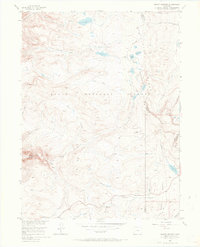
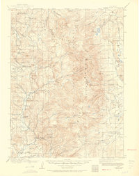
Editions of this 1956 Storm Mountain Map
4 editions found

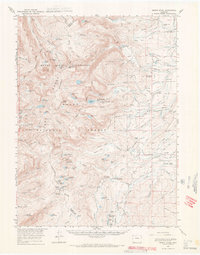
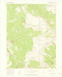
Other maps of this area
1911 · Hahns Peak
USGS Topo · 1:125,000
1913 · Hahns Peak
USGS Topo · 1:125,000

1954 · Craig
USGS Topo · 1:250,000
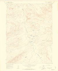
1955 · Buffalo Pass
USGS Topo · 1:24,000

1955 · Teal Lake
USGS Topo · 1:24,000
1955 · Mount Ethel
USGS Topo · 1:62,500
1956 · Rabbit Ears Peak
USGS Topo · 1:24,000
1956 · Lake Agnes
USGS Topo · 1:24,000
1956 · Walton Peak
USGS Topo · 1:24,000
1956 · Rabbit Ears Peak
USGS Topo · 1:62,500